Sedona night lights from space
Night Light of Sedona (Arizona) from space (United States) Src. Average luminocity for 10x10km area is 9.1978% and for 50x50km: 1.4395%.
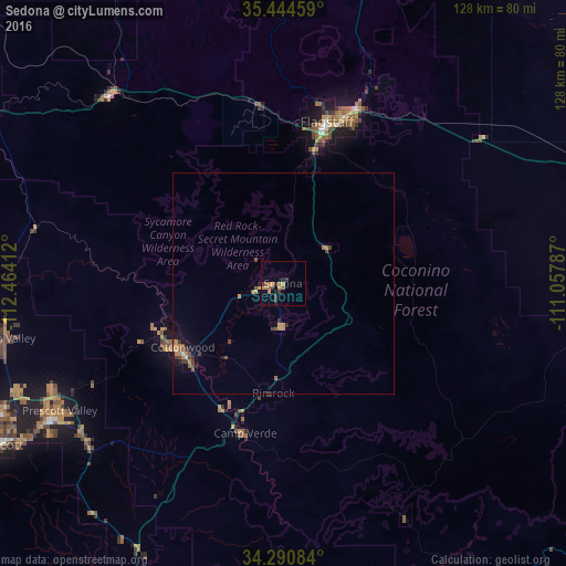
Analysis of Sedona night lights 2016
Square area 10x10 km:
 0%
0%90-99
0%80-89
0%70-79
3.48%60-69
3.48%50-59
1.1%40-49
0.73%30-39
2.93%20-29
1.65%10-19
0.92%0-9
85.71%Square area 50x50 km:
0.01%90-99
0.05%80-89
0.03%70-79
0.45%60-69
0.41%50-59
0.25%40-49
0.28%30-39
0.35%20-29
0.19%10-19
0.38%0-9
97.6%Clear (daylight) street map image can be seen on geolist.org.
Map coordinates:
35° 26' 40.5" North, 112° 27' 50.8" West
34° 52' 11.1" North, 111° 45' 39.6" West
34° 17' 27" North, 111° 3' 28.3" West
Some cities around Sedona sort by population:
• Flagstaff
37.8 km =23.5 mi,  15°
15°
• Prescott Valley
58.3 km =36.2 mi,  240°
240°
• Cottonwood
27 km =16.8 mi, 237°
• Verde Village
28.9 km =18 mi,  232°
232°
• West Sedona
4.1 km =2.5 mi,  266°
266°
• Camp Verde
35.1 km =21.8 mi,  194°
194°
• Big Park
9.9 km =6.2 mi,  180°
180°
• Village of Oak Creek (Big Park)
9.9 km =6.2 mi, 180°
5313667 (p: 10,388)
Sources (retrieved 2019-11-25):
» Earth at Night: Flat Maps 2012, 2016