Flagstaff night lights from space
Night Light of Flagstaff (Arizona) from space (United States) Src. Average luminocity for 10x10km area is 37.0472% and for 50x50km: 2.4604%.
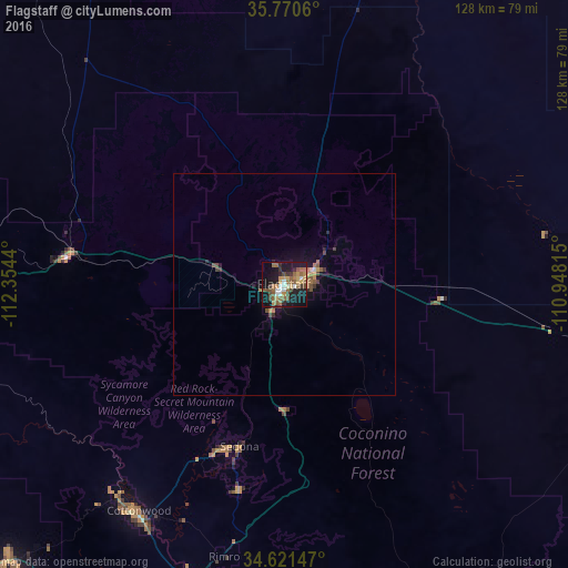
Analysis of Flagstaff night lights 2016
Square area 10x10 km:
 4.2%
4.2%90-99
2.8%80-89
2.62%70-79
6.99%60-69
7.34%50-59
11.71%40-49
5.77%30-39
4.37%20-29
6.47%10-19
37.76%0-9
9.97%Square area 50x50 km:
0.18%90-99
0.13%80-89
0.15%70-79
0.4%60-69
0.52%50-59
0.67%40-49
0.41%30-39
0.43%20-29
0.39%10-19
2.44%0-9
94.29%Clear (daylight) street map image can be seen on geolist.org.
Map coordinates:
35° 46' 14.2" North, 112° 21' 15.8" West
35° 11' 53.1" North, 111° 39' 4.6" West
34° 37' 17.3" North, 110° 56' 53.3" West
Some cities around Flagstaff sort by population:
• Cottonwood
60.6 km =37.7 mi,  212°
212°
• Verde Village
63.4 km =39.4 mi, 211°
• West Sedona
39.4 km =24.5 mi,  200°
200°
• Camp Verde
72.9 km =45.3 mi,  194°
194°
• Sedona
37.8 km =23.5 mi, 195°
• Big Park
47.5 km =29.5 mi, 192°
• Village of Oak Creek (Big Park)
47.5 km =29.5 mi, 192°
• Paulden
82.1 km =51 mi,  244°
244°
5294810 (p: 70,320)
Sources (retrieved 2019-11-25):
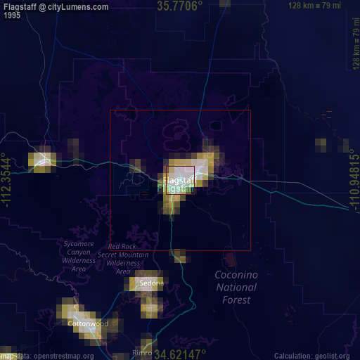
» NASA, Earths city lights 1995
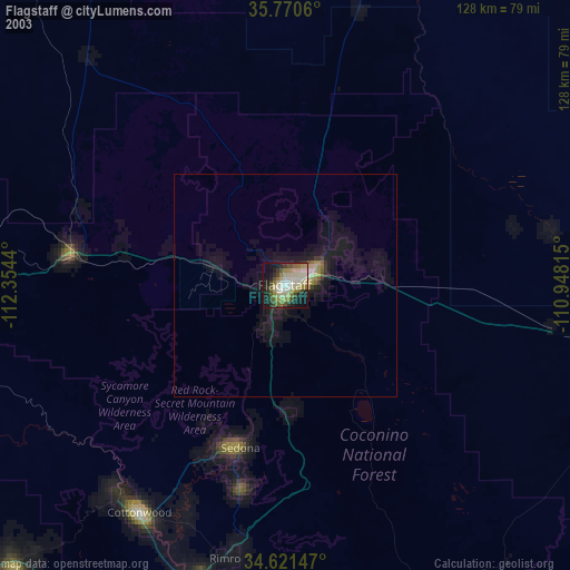
» NASA city lights 2003
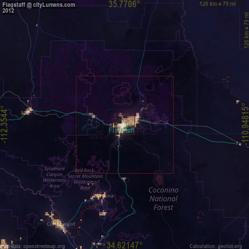
» Earth at Night: Flat Maps 2012, 2016