Payson night lights from space
Night Light of Payson (Arizona) from space (United States) Src. Average luminocity for 10x10km area is 16.7747% and for 50x50km: 0.8451%.
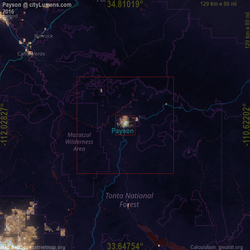
Analysis of Payson night lights 2016
Square area 10x10 km:
 1.47%
1.47%90-99
0.73%80-89
0%70-79
0.73%60-69
5.31%50-59
5.31%40-49
4.58%30-39
4.4%20-29
3.66%10-19
2.93%0-9
70.88%Square area 50x50 km:
0.06%90-99
0.03%80-89
0%70-79
0.04%60-69
0.26%50-59
0.27%40-49
0.22%30-39
0.2%20-29
0.19%10-19
0.16%0-9
98.58%Clear (daylight) street map image can be seen on geolist.org.
Map coordinates:
34° 48' 36.7" North, 112° 1' 41.8" West
34° 13' 51.1" North, 111° 19' 30.5" West
33° 38' 51.1" North, 110° 37' 19.3" West
Some cities around Payson sort by population:
• Fountain Hills
77.8 km =48.3 mi,  207°
207°
• New River
82.5 km =51.3 mi,  244°
244°
• Verde Village
82.5 km =51.3 mi,  310°
310°
• Camp Verde
61 km =37.9 mi, 307°
• Sedona
81.5 km =50.6 mi,  330°
330°
• Big Park
73.1 km =45.4 mi, 326°
• Village of Oak Creek (Big Park)
73.1 km =45.4 mi, 326°
• Cave Creek
72.6 km =45.1 mi,  232°
232°
5308305 (p: 15,345)
Sources (retrieved 2019-11-25):
» Earth at Night: Flat Maps 2012, 2016