Weehawken night lights from space
Night Light of Weehawken (New Jersey) from space (United States) Src. Average luminocity for 10x10km area is 99.4156% and for 50x50km: 87.4484%.
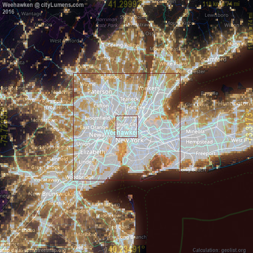
Analysis of Weehawken night lights 2016
Square area 10x10 km:
 76.46%
90-99
22.24%80-89
1.3%70-79
0%60-69
0%50-59
0%40-49
0%30-39
0%20-29
0%10-19
0%0-9
0%Square area 50x50 km:
47.5%90-99
21.32%80-89
7.14%70-79
7.8%60-69
5.63%50-59
2.41%40-49
1.97%30-39
1.84%20-29
2.42%10-19
1.81%0-9
0.18%Clear (daylight) street map image can be seen on geolist.org.
Map coordinates:
41° 17' 59.7" North, 74° 43' 24.8" West
40° 46' 10.4" North, 74° 1' 13.5" West
40° 14' 5.7" North, 73° 19' 2.3" West
Some cities around Weehawken sort by population:
• Union City
1.1 km =0.7 mi,  345°
345°
• North Bergen
3.9 km =2.4 mi,  10°
10°
• Hoboken
3 km =1.9 mi,  199°
199°
• West New York
2.1 km =1.3 mi, 14°
• Hell's Kitchen
2.5 km =1.6 mi,  101°
101°
• Gramercy Park
4.6 km =2.9 mi,  140°
140°
• Secaucus
3.8 km =2.4 mi,  306°
306°
• Guttenberg
2.9 km =1.8 mi,  29°
29°
5106184 (p: 14,104)
Sources (retrieved 2019-11-25):
» Earth at Night: Flat Maps 2012, 2016