Maplewood night lights from space
Night Light of Maplewood (New Jersey) from space (United States) Src. Average luminocity for 10x10km area is 92.8929% and for 50x50km: 79.9796%.
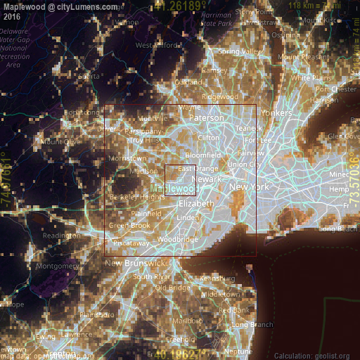
Analysis of Maplewood night lights 2016
Square area 10x10 km:
 45.94%
90-99
25.32%80-89
10.88%70-79
12.5%60-69
5.36%50-59
0%40-49
0%30-39
0%20-29
0%10-19
0%0-9
0%Square area 50x50 km:
33.03%90-99
20.5%80-89
8.77%70-79
10.35%60-69
7.77%50-59
5.23%40-49
3.67%30-39
2.8%20-29
3.79%10-19
2.75%0-9
1.33%Clear (daylight) street map image can be seen on geolist.org.
Map coordinates:
41° 15' 42.8" North, 74° 58' 35.8" West
40° 43' 52.4" North, 74° 16' 24.5" West
40° 11' 46.6" North, 73° 34' 13.3" West
Some cities around Maplewood sort by population:
• Irvington
3.3 km =2.1 mi,  87°
87°
• Union
3.8 km =2.4 mi,  166°
166°
• Orange
5.6 km =3.5 mi,  38°
38°
• Hillside
4.9 km =3 mi,  132°
132°
• South Orange
2.2 km =1.4 mi,  27°
27°
• Springfield
4.7 km =2.9 mi,  231°
231°
• Short Hills
4.8 km =3 mi,  292°
292°
• Kenilworth
6.3 km =3.9 mi,  193°
193°
5100854 (p: 25,008)
Sources (retrieved 2019-11-25):
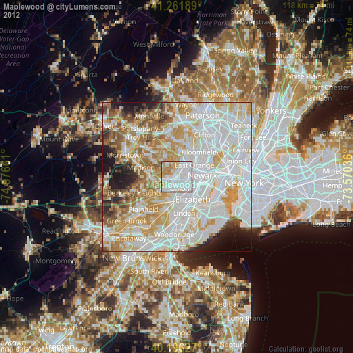
» Earth at Night: Flat Maps 2012, 2016