Irvington night lights from space
Night Light of Irvington (New Jersey) from space (United States) Src. Average luminocity for 10x10km area is 97.4497% and for 50x50km: 81.7503%.
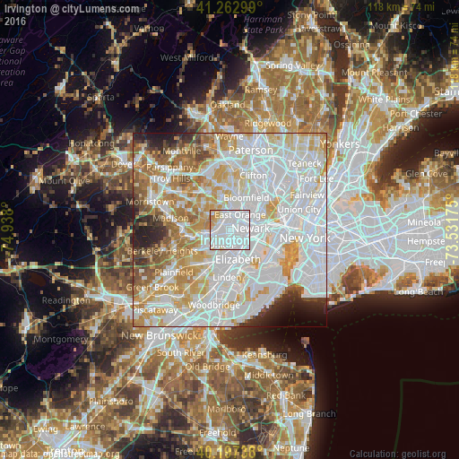
Analysis of Irvington night lights 2016
Square area 10x10 km:
 68.99%
90-99
20.45%80-89
5.36%70-79
4.38%60-69
0.81%50-59
0%40-49
0%30-39
0%20-29
0%10-19
0%0-9
0%Square area 50x50 km:
36.31%90-99
20.83%80-89
8.8%70-79
10.14%60-69
7.17%50-59
4.17%40-49
2.61%30-39
2.32%20-29
3.66%10-19
2.3%0-9
1.68%Clear (daylight) street map image can be seen on geolist.org.
Map coordinates:
41° 15' 46.8" North, 74° 56' 16.8" West
40° 43' 56.4" North, 74° 14' 5.5" West
40° 11' 50.6" North, 73° 31' 54.3" West
Some cities around Irvington sort by population:
• Newark
5.3 km =3.3 mi,  85°
85°
• East Orange
4.6 km =2.9 mi,  32°
32°
• Union
4.5 km =2.8 mi,  211°
211°
• Orange
4.3 km =2.7 mi,  2°
2°
• Maplewood
3.3 km =2.1 mi,  267°
267°
• Hillside
3.5 km =2.2 mi,  173°
173°
• South Orange
2.9 km =1.8 mi,  309°
309°
• Harrison
6.8 km =4.2 mi,  76°
76°
5099724 (p: 61,323)
Sources (retrieved 2019-11-25):
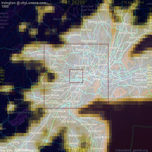
» NASA, Earths city lights 1995
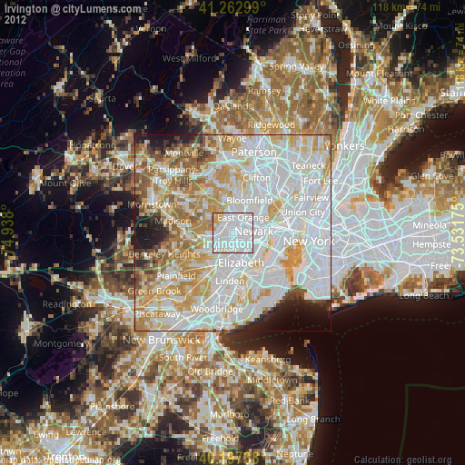
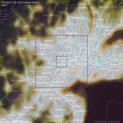
» NASA city lights 2003
» Earth at Night: Flat Maps 2012, 2016