De Pere night lights from space
Night Light of De Pere (Wisconsin) from space (United States) Src. Average luminocity for 10x10km area is 71.6508% and for 50x50km: 16.4325%.
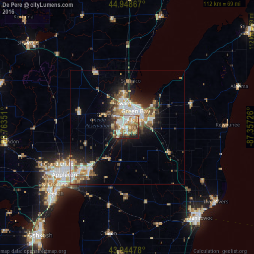
Analysis of De Pere night lights 2016
Square area 10x10 km:
 15.71%
90-99
19.52%80-89
6.98%70-79
12.54%60-69
15.24%50-59
9.84%40-49
6.67%30-39
3.49%20-29
6.98%10-19
3.02%0-9
0%Square area 50x50 km:
2.8%90-99
3.11%80-89
1.89%70-79
2.26%60-69
2.36%50-59
2.26%40-49
2.23%30-39
1.85%20-29
4.31%10-19
7.03%0-9
69.9%Clear (daylight) street map image can be seen on geolist.org.
Map coordinates:
44° 56' 55.2" North, 88° 45' 48.6" West
44° 26' 56" North, 88° 3' 37.4" West
43° 56' 41.2" North, 87° 21' 26.1" West
Some cities around De Pere sort by population:
• Green Bay
8.5 km =5.3 mi,  22°
22°
• Howard
10.8 km =6.7 mi,  348°
348°
• Ashwaubenon
3.8 km =2.4 mi, 348°
• Kaukauna
25.4 km =15.8 mi,  221°
221°
• Bellevue
11.1 km =6.9 mi,  92°
92°
• Allouez
4.7 km =2.9 mi,  47°
47°
• Suamico
20.4 km =12.7 mi,  4°
4°
• Hobart
9 km =5.6 mi,  308°
308°
5250201 (p: 24,724)
Sources (retrieved 2019-11-25):
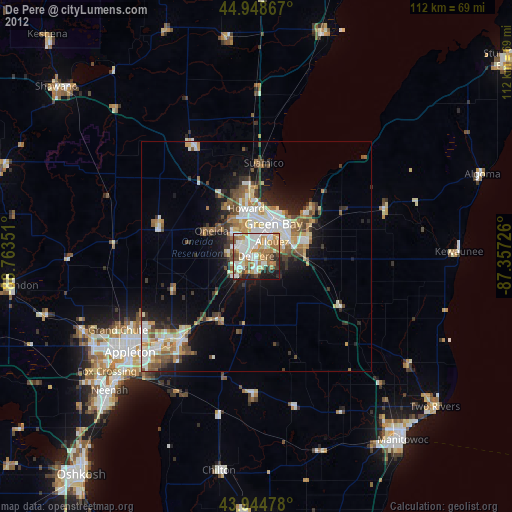
» Earth at Night: Flat Maps 2012, 2016