Harlan night lights from space
Night Light of Harlan (Iowa) from space (United States) Src. Average luminocity for 10x10km area is 7.8003% and for 50x50km: 1.0073%.
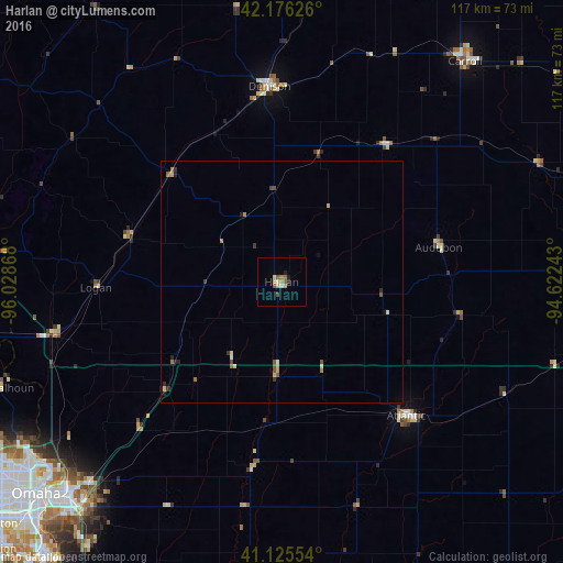
Analysis of Harlan night lights 2016
Square area 10x10 km:
 0.32%
0.32%90-99
0.49%80-89
2.44%70-79
0.65%60-69
1.3%50-59
2.11%40-49
1.14%30-39
0.49%20-29
1.46%10-19
0%0-9
89.61%Square area 50x50 km:
0.03%90-99
0.06%80-89
0.24%70-79
0.16%60-69
0.17%50-59
0.26%40-49
0.15%30-39
0.14%20-29
0.27%10-19
0.08%0-9
98.43%Clear (daylight) street map image can be seen on geolist.org.
Map coordinates:
42° 10' 34.5" North, 96° 1' 43.2" West
41° 39' 10.9" North, 95° 19' 32" West
41° 7' 31.9" North, 94° 37' 20.7" West
Some cities around Harlan sort by population:
• Omaha
67.6 km =42 mi,  229°
229°
• Council Bluffs
62.3 km =38.7 mi, 225°
• Bellevue
74.3 km =46.2 mi,  219°
219°
• Carroll
59.6 km =37 mi,  39°
39°
• Denison
40.6 km =25.2 mi,  356°
356°
• Blair
67.6 km =42 mi,  259°
259°
• Atlantic
38 km =23.6 mi,  136°
136°
• Red Oak
72 km =44.7 mi,  173°
173°
4859802 (p: 5,002)
Sources (retrieved 2019-11-25):
» Earth at Night: Flat Maps 2012, 2016