Atlantic night lights from space
Night Light of Atlantic (Iowa) from space (United States) Src. Average luminocity for 10x10km area is 15.1156% and for 50x50km: 0.9411%.
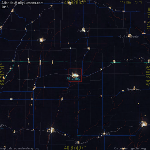
Analysis of Atlantic night lights 2016
Square area 10x10 km:
 2.04%
2.04%90-99
3.23%80-89
2.21%70-79
0.51%60-69
2.21%50-59
0.68%40-49
2.72%30-39
2.38%20-29
1.02%10-19
2.04%0-9
80.95%Square area 50x50 km:
0.08%90-99
0.14%80-89
0.18%70-79
0.05%60-69
0.14%50-59
0.09%40-49
0.21%30-39
0.16%20-29
0.2%10-19
0.17%0-9
98.6%Clear (daylight) street map image can be seen on geolist.org.
Map coordinates:
41° 55' 43.9" North, 95° 43' 1.2" West
41° 24' 13" North, 95° 0' 50" West
40° 52' 26.7" North, 94° 18' 38.7" West
Some cities around Atlantic sort by population:
• Council Bluffs
72.4 km =45 mi,  257°
257°
• Carroll
74.6 km =46.4 mi,  9°
9°
• Denison
73.9 km =45.9 mi,  337°
337°
• Creston
66.7 km =41.4 mi,  125°
125°
• Red Oak
47.2 km =29.3 mi,  202°
202°
• Clarinda
73.8 km =45.9 mi,  181°
181°
• Glenwood
72.7 km =45.2 mi,  236°
236°
• Harlan
38 km =23.6 mi,  316°
316°
4847385 (p: 6,833)
Sources (retrieved 2019-11-25):
» Earth at Night: Flat Maps 2012, 2016