Carroll night lights from space
Night Light of Carroll (Iowa) from space (United States) Src. Average luminocity for 10x10km area is 19.2683% and for 50x50km: 1.646%.
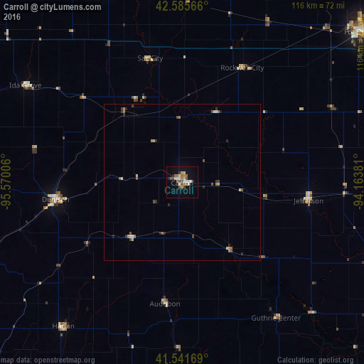
Analysis of Carroll night lights 2016
Square area 10x10 km:
 1.59%
1.59%90-99
3.02%80-89
3.02%70-79
1.9%60-69
4.13%50-59
3.17%40-49
2.7%30-39
0.79%20-29
1.9%10-19
12.22%0-9
65.56%Square area 50x50 km:
0.13%90-99
0.19%80-89
0.25%70-79
0.15%60-69
0.37%50-59
0.27%40-49
0.3%30-39
0.14%20-29
0.44%10-19
0.55%0-9
97.22%Clear (daylight) street map image can be seen on geolist.org.
Map coordinates:
42° 35' 8.4" North, 95° 34' 12.2" West
42° 3' 57" North, 94° 52' 0.9" West
41° 32' 30.1" North, 94° 9' 49.7" West
Some cities around Carroll sort by population:
• Fort Dodge
74.9 km =46.5 mi,  50°
50°
• Boone
81.5 km =50.6 mi,  90°
90°
• Storm Lake
69.9 km =43.4 mi,  336°
336°
• Denison
40.7 km =25.3 mi,  262°
262°
• Perry
67.7 km =42.1 mi,  111°
111°
• Atlantic
74.6 km =46.4 mi,  189°
189°
• Centerville
76.9 km =47.8 mi, 87°
• Harlan
59.6 km =37 mi,  219°
219°
4850478 (p: 9,968)
Sources (retrieved 2019-11-25):
» Earth at Night: Flat Maps 2012, 2016