Denison night lights from space
Night Light of Denison (Iowa) from space (United States) Src. Average luminocity for 10x10km area is 18.419% and for 50x50km: 1.2835%.
Analysis of Denison night lights 2016
Square area 10x10 km:
 1.9%
1.9%90-99
2.54%80-89
4.29%70-79
2.22%60-69
2.06%50-59
2.86%40-49
1.9%30-39
0.63%20-29
0.63%10-19
10.63%0-9
70.32%Square area 50x50 km:
0.11%90-99
0.14%80-89
0.22%70-79
0.18%60-69
0.18%50-59
0.21%40-49
0.19%30-39
0.19%20-29
0.2%10-19
0.48%0-9
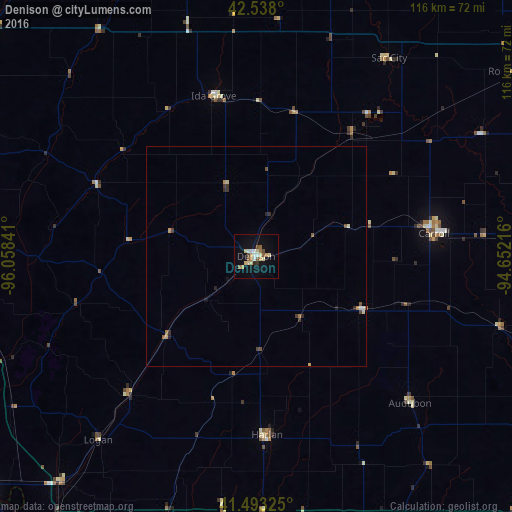
97.89%Clear (daylight) street map image can be seen on geolist.org.
Map coordinates:
42° 32' 16.8" North, 96° 3' 30.3" West
42° 1' 4" North, 95° 21' 19" West
41° 29' 35.7" North, 94° 39' 7.8" West
Some cities around Denison sort by population:
• Omaha
97.6 km =60.6 mi,  209°
209°
• Council Bluffs
94 km =58.4 mi, 206°
• Storm Lake
70.3 km =43.7 mi,  9°
9°
• Carroll
40.7 km =25.3 mi,  82°
82°
• Blair
82.7 km =51.4 mi,  230°
230°
• Atlantic
73.9 km =45.9 mi,  157°
157°
• Cherokee
82.9 km =51.5 mi,  348°
348°
• Harlan
40.6 km =25.2 mi,  176°
176°
4853757 (p: 8,334)
Sources (retrieved 2019-11-25):
» Earth at Night: Flat Maps 2012, 2016