Half Moon Bay night lights from space
Night Light of Half Moon Bay (California) from space (United States) Src. Average luminocity for 10x10km area is 13.9773% and for 50x50km: 14.4719%.
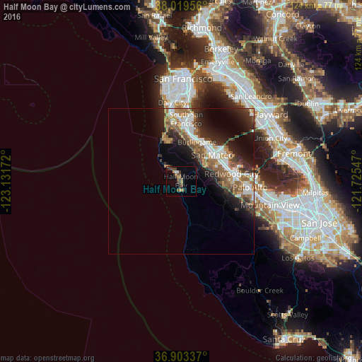
Analysis of Half Moon Bay night lights 2016
Square area 10x10 km:
 0.65%
0.65%90-99
0.65%80-89
0%70-79
3.57%60-69
2.27%50-59
1.79%40-49
5.19%30-39
3.9%20-29
1.79%10-19
3.08%0-9
77.11%Square area 50x50 km:
2.45%90-99
2.51%80-89
0.67%70-79
2.13%60-69
2.28%50-59
2.88%40-49
2.22%30-39
2.14%20-29
4.36%10-19
6.71%0-9
71.63%Clear (daylight) street map image can be seen on geolist.org.
Map coordinates:
38° 1' 10.4" North, 123° 7' 54.2" West
37° 27' 48.8" North, 122° 25' 42.9" West
36° 54' 12.1" North, 121° 43' 31.7" West
Some cities around Half Moon Bay sort by population:
• San Mateo
14.3 km =8.9 mi,  39°
39°
• Burlingame
14.5 km =9 mi,  22°
22°
• San Carlos
15.6 km =9.7 mi,  71°
71°
• Belmont
14.9 km =9.3 mi,  64°
64°
• Millbrae
15.4 km =9.6 mi,  13°
13°
• Hillsborough
13 km =8.1 mi, 19°
• Woodside
15.9 km =9.9 mi,  103°
103°
• El Granada
5.7 km =3.5 mi,  320°
320°
5354943 (p: 12,657)
Sources (retrieved 2019-11-25):
» Earth at Night: Flat Maps 2012, 2016