Burlingame night lights from space
Night Light of Burlingame (California) from space (United States) Src. Average luminocity for 10x10km area is 57.0238% and for 50x50km: 32.7508%.
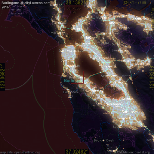
Analysis of Burlingame night lights 2016
Square area 10x10 km:
 12.93%
90-99
13.44%80-89
2.72%70-79
6.97%60-69
6.12%50-59
13.1%40-49
12.76%30-39
4.25%20-29
16.16%10-19
10.71%0-9
0.85%Square area 50x50 km:
8.9%90-99
7.52%80-89
1.55%70-79
3.75%60-69
4.28%50-59
4.68%40-49
3.94%30-39
3.64%20-29
7.67%10-19
10.36%0-9
43.7%Clear (daylight) street map image can be seen on geolist.org.
Map coordinates:
38° 8' 21.2" North, 123° 4' 9.2" West
37° 35' 2.8" North, 122° 21' 57.9" West
37° 1' 29.4" North, 121° 39' 46.7" West
Some cities around Burlingame sort by population:
• San Mateo
4.3 km =2.7 mi,  123°
123°
• South San Francisco
8.7 km =5.4 mi,  334°
334°
• San Bruno
6.5 km =4 mi,  322°
322°
• Pacifica
11.1 km =6.9 mi,  287°
287°
• Foster City
8.8 km =5.5 mi,  108°
108°
• Belmont
10.7 km =6.6 mi,  131°
131°
• Millbrae
2.5 km =1.6 mi,  310°
310°
• Hillsborough
1.6 km =1 mi,  226°
226°
5331920 (p: 30,459)
Sources (retrieved 2019-11-25):
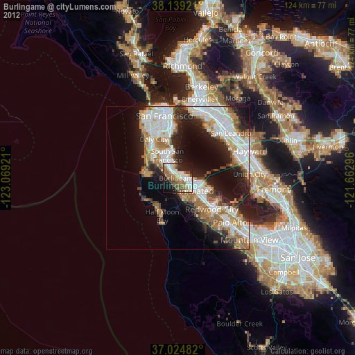
» Earth at Night: Flat Maps 2012, 2016