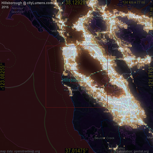
Hillsborough night lights from space
Night Light of Hillsborough (California) from space (United States) Src. Average luminocity for 10x10km area is 50.6854% and for 50x50km: 30.6471%.
Analysis of Hillsborough night lights 2016
Square area 10x10 km:
 9.86%
9.86%90-99
9.86%80-89
2.04%70-79
6.63%60-69
6.46%50-59
13.95%40-49
11.9%30-39
4.93%20-29
15.99%10-19
13.1%0-9
5.27%Square area 50x50 km:
8.16%90-99
6.78%80-89
1.54%70-79
3.56%60-69
4.16%50-59
4.47%40-49
3.79%30-39
3.54%20-29
7.21%10-19
9.85%0-9
46.93%Clear (daylight) street map image can be seen on geolist.org.
Map coordinates:
38° 7' 45.4" North, 123° 4' 57.2" West
37° 34' 26.8" North, 122° 22' 45.9" West
37° 0' 53.1" North, 121° 40' 34.7" West
Some cities around Hillsborough sort by population:
• San Mateo
4.9 km =3 mi,  104°
104°
• South San Francisco
9.3 km =5.8 mi,  344°
344°
• San Bruno
6.9 km =4.3 mi, 336°
• Pacifica
10.5 km =6.5 mi,  295°
295°
• Foster City
9.7 km =6 mi, 100°
• Burlingame
1.6 km =1 mi,  46°
46°
• Belmont
10.9 km =6.8 mi,  123°
123°
• Millbrae
2.8 km =1.7 mi,  345°
345°
5357155 (p: 11,451)
Sources (retrieved 2019-11-25):
» Earth at Night: Flat Maps 2012, 2016