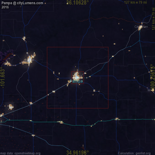
Pampa night lights from space
Night Light of Pampa (Texas) from space (United States) Src. Average luminocity for 10x10km area is 36.7198% and for 50x50km: 2.3371%.
Analysis of Pampa night lights 2016
Square area 10x10 km:
 5.13%
5.13%90-99
5.49%80-89
6.96%70-79
6.04%60-69
7.69%50-59
0.73%40-49
3.66%30-39
3.66%20-29
3.11%10-19
43.22%0-9
14.29%Square area 50x50 km:
0.23%90-99
0.25%80-89
0.41%70-79
0.31%60-69
0.4%50-59
0.18%40-49
0.31%30-39
0.4%20-29
0.19%10-19
2.24%0-9
95.07%Clear (daylight) street map image can be seen on geolist.org.
Map coordinates:
36° 6' 22.6" North, 101° 39' 46.8" West
35° 32' 10.2" North, 100° 57' 35.5" West
34° 57' 43.1" North, 100° 15' 24.3" West
Some cities around Pampa sort by population:
• Amarillo
86.4 km =53.7 mi,  246°
246°
• Dumas
98.6 km =61.3 mi,  291°
291°
• Canyon
106.8 km =66.4 mi,  234°
234°
• Borger
42.2 km =26.2 mi, 290°
• Elk City
141.5 km =87.9 mi,  95°
95°
• Guymon
135.8 km =84.4 mi,  339°
339°
• Perryton
97.1 km =60.3 mi,  8°
8°
• Childress
141.3 km =87.8 mi,  150°
150°
5527953 (p: 18,177)
Sources (retrieved 2019-11-25):
» Earth at Night: Flat Maps 2012, 2016