Guilford night lights from space
Night Light of Guilford (Connecticut) from space (United States) Src. Average luminocity for 10x10km area is 17.3685% and for 50x50km: 16.9476%.
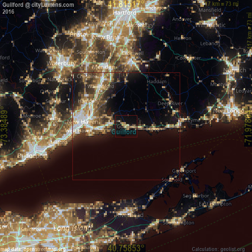
Analysis of Guilford night lights 2016
Square area 10x10 km:
 0%
0%90-99
0.65%80-89
2.76%70-79
2.92%60-69
3.08%50-59
2.76%40-49
3.73%30-39
0.65%20-29
4.06%10-19
16.72%0-9
62.66%Square area 50x50 km:
2.04%90-99
2.67%80-89
2.12%70-79
2.24%60-69
2.6%50-59
3%40-49
3.15%30-39
3.13%20-29
4.45%10-19
7.57%0-9
67.02%Clear (daylight) street map image can be seen on geolist.org.
Map coordinates:
41° 48' 54.6" North, 73° 23' 5.6" West
41° 17' 20.4" North, 72° 40' 54.3" West
40° 45' 30.7" North, 71° 58' 43.1" West
Some cities around Guilford sort by population:
• New Haven
20.7 km =12.9 mi,  275°
275°
• Branford
11.2 km =7 mi,  264°
264°
• East Haven
15.7 km =9.8 mi, 264°
• North Haven
18.7 km =11.6 mi,  307°
307°
• Madison
7 km =4.3 mi,  98°
98°
• Wallingford Center
21.2 km =13.2 mi,  327°
327°
• North Branford
8.3 km =5.2 mi,  300°
300°
• Branford Center
11.2 km =7 mi, 263°
4835512 (p: 22,498)
Sources (retrieved 2019-11-25):
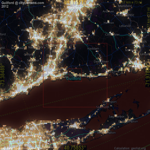
» Earth at Night: Flat Maps 2012, 2016