Bedford night lights from space
Night Light of Bedford (Texas) from space (United States) Src. Average luminocity for 10x10km area is 93.1434% and for 50x50km: 86.5841%.
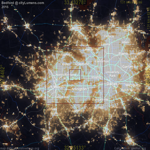
Analysis of Bedford night lights 2016
Square area 10x10 km:
 34.09%
90-99
31.64%80-89
26.57%70-79
6.64%60-69
1.05%50-59
0%40-49
0%30-39
0%20-29
0%10-19
0%0-9
0%Square area 50x50 km:
30.01%90-99
28.76%80-89
14.75%70-79
11.05%60-69
6.75%50-59
3.45%40-49
1.95%30-39
1.4%20-29
1.12%10-19
0.6%0-9
0.16%Clear (daylight) street map image can be seen on geolist.org.
Map coordinates:
33° 25' 58" North, 97° 50' 46.3" West
32° 50' 38.5" North, 97° 8' 35.1" West
32° 15' 4.8" North, 96° 26' 23.8" West
Some cities around Bedford sort by population:
• North Richland Hills
8.1 km =5 mi,  262°
262°
• Euless
5.8 km =3.6 mi,  97°
97°
• Grapevine
11.7 km =7.3 mi,  31°
31°
• Hurst
3.4 km =2.1 mi,  228°
228°
• Southlake
10.8 km =6.7 mi,  4°
4°
• Colleyville
4.3 km =2.7 mi,  344°
344°
• Watauga
10.5 km =6.5 mi,  278°
278°
• Richland Hills
8.5 km =5.3 mi,  248°
248°
4673094 (p: 49,337)
Sources (retrieved 2019-11-25):
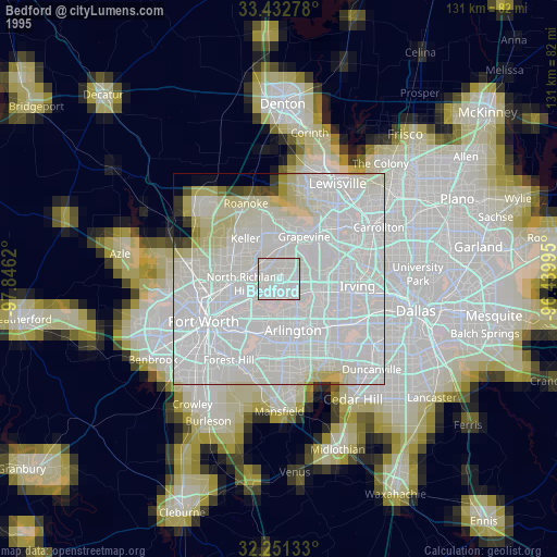
» NASA, Earths city lights 1995
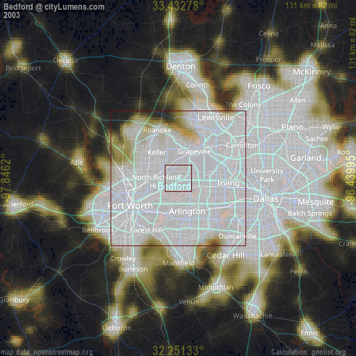
» NASA city lights 2003
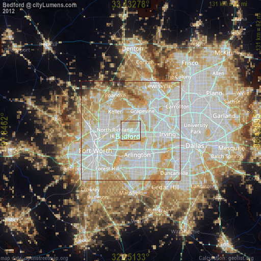
» Earth at Night: Flat Maps 2012, 2016