Euless night lights from space
Night Light of Euless (Texas) from space (United States) Src. Average luminocity for 10x10km area is 92.278% and for 50x50km: 89.3803%.
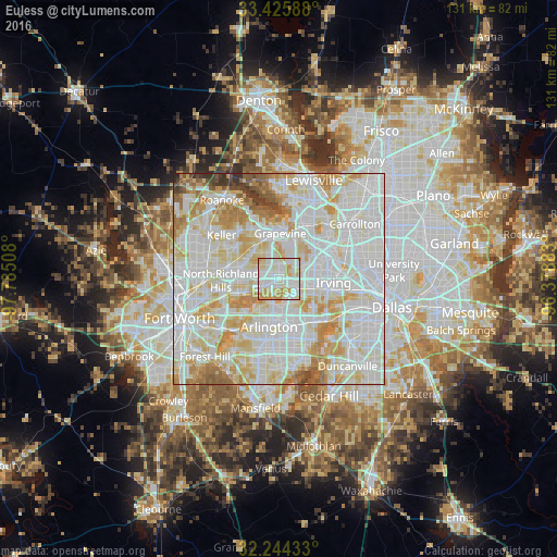
Analysis of Euless night lights 2016
Square area 10x10 km:
 33.74%
90-99
34.44%80-89
11.89%70-79
19.76%60-69
0.17%50-59
0%40-49
0%30-39
0%20-29
0%10-19
0%0-9
0%Square area 50x50 km:
34.19%90-99
30.69%80-89
13.7%70-79
9.92%60-69
5.82%50-59
2.79%40-49
1.37%30-39
1.15%20-29
0.35%10-19
0.01%0-9
0%Clear (daylight) street map image can be seen on geolist.org.
Map coordinates:
33° 25' 33.2" North, 97° 47' 6.3" West
32° 50' 13.5" North, 97° 4' 55" West
32° 14' 39.6" North, 96° 22' 43.8" West
Some cities around Euless sort by population:
• Arlington
11.5 km =7.1 mi,  192°
192°
• Irving
12.7 km =7.9 mi,  101°
101°
• Grand Prairie
12.8 km =8 mi,  142°
142°
• Grapevine
10.8 km =6.7 mi,  1°
1°
• Bedford
5.8 km =3.6 mi,  277°
277°
• Hurst
8.4 km =5.2 mi,  259°
259°
• Southlake
12.6 km =7.8 mi,  337°
337°
• Colleyville
8.4 km =5.2 mi,  305°
305°
4689550 (p: 54,219)
Sources (retrieved 2019-11-25):
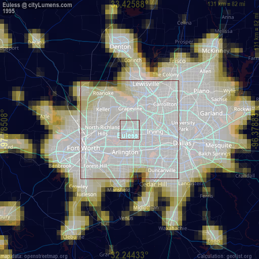
» NASA, Earths city lights 1995
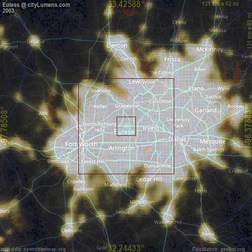
» NASA city lights 2003
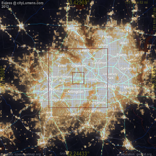
» Earth at Night: Flat Maps 2012, 2016