Grand Prairie night lights from space
Night Light of Grand Prairie (Texas) from space (United States) Src. Average luminocity for 10x10km area is 90.3759% and for 50x50km: 87.2979%.

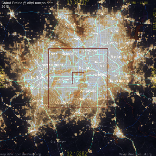

Analysis of Grand Prairie night lights 2016
Square area 10x10 km:
 34.27%
90-99
29.2%80-89
10.84%70-79
18.36%60-69
7.34%50-59
0%40-49
0%30-39
0%20-29
0%10-19
0%0-9
0%Square area 50x50 km:
32.8%90-99
27.61%80-89
13.19%70-79
10.58%60-69
6.29%50-59
5.44%40-49
2.41%30-39
0.93%20-29
0.75%10-19
0%0-9
0%Clear (daylight) street map image can be seen on geolist.org.
Map coordinates:
33° 20' 7.3" North, 97° 42' 3.3" West
32° 44' 45.5" North, 96° 59' 52" West
32° 9' 9.4" North, 96° 17' 40.8" West
Some cities around Grand Prairie sort by population:
• Dallas
18.3 km =11.4 mi,  77°
77°
• Arlington
10.4 km =6.5 mi,  263°
263°
• Irving
8.8 km =5.5 mi,  31°
31°
• Euless
12.8 km =8 mi,  322°
322°
• Bedford
17.4 km =10.8 mi,  308°
308°
• Cedar Hill
17.9 km =11.1 mi,  167°
167°
• Duncanville
13.4 km =8.3 mi,  141°
141°
• Hurst
18.3 km =11.4 mi,  298°
298°
4694482 (p: 187,809)
Sources (retrieved 2019-11-25):
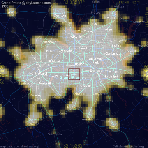
» NASA, Earths city lights 1995
» NASA city lights 2003
» Earth at Night: Flat Maps 2012, 2016