Arlington night lights from space
Night Light of Arlington (Texas) from space (United States) Src. Average luminocity for 10x10km area is 96.0367% and for 50x50km: 86.1407%.

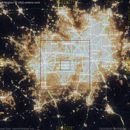
Analysis of Arlington night lights 2016
Square area 10x10 km:
 48.25%
90-99
36.54%80-89
12.59%70-79
2.1%60-69
0.52%50-59
0%40-49
0%30-39
0%20-29
0%10-19
0%0-9
0%Square area 50x50 km:
29.46%90-99
27.84%80-89
14.28%70-79
10.63%60-69
7.24%50-59
6.06%40-49
2.33%30-39
1.12%20-29
1.04%10-19
0%0-9
0%Clear (daylight) street map image can be seen on geolist.org.
Map coordinates:
33° 19' 30.6" North, 97° 48' 40.3" West
32° 44' 8.5" North, 97° 6' 29.1" West
32° 8' 32.2" North, 96° 24' 17.8" West
Some cities around Arlington sort by population:
• Grand Prairie
10.4 km =6.5 mi,  83°
83°
• North Richland Hills
15.7 km =9.8 mi,  314°
314°
• Euless
11.5 km =7.1 mi,  12°
12°
• Bedford
12.5 km =7.8 mi,  344°
344°
• Hurst
11.4 km =7.1 mi,  329°
329°
• Forest Hill
16.7 km =10.4 mi,  244°
244°
• Richland Hills
14.3 km =8.9 mi, 308°
• Kennedale
14.8 km =9.2 mi,  228°
228°
4671240 (p: 388,125)
Sources (retrieved 2019-11-25):
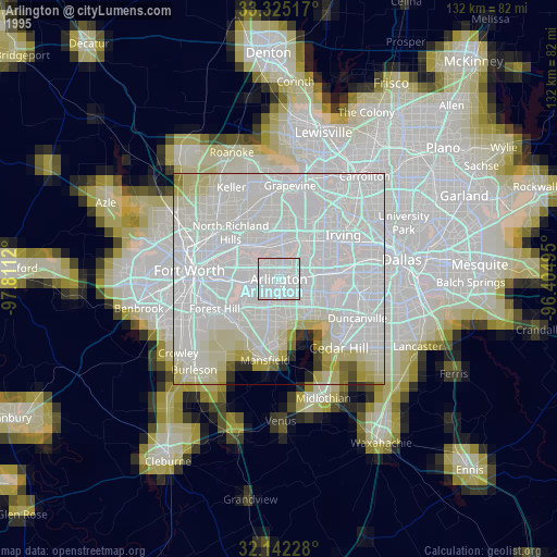
» NASA, Earths city lights 1995
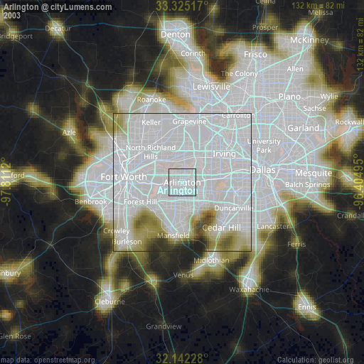
» NASA city lights 2003
» Earth at Night: Flat Maps 2012, 2016