Cedar Hill night lights from space
Night Light of Cedar Hill (Texas) from space (United States) Src. Average luminocity for 10x10km area is 72.2622% and for 50x50km: 66.792%.
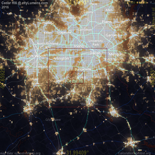
Analysis of Cedar Hill night lights 2016
Square area 10x10 km:
 9.27%
9.27%90-99
13.29%80-89
11.36%70-79
13.64%60-69
22.38%50-59
26.4%40-49
3.5%30-39
0.17%20-29
0%10-19
0%0-9
0%Square area 50x50 km:
17.71%90-99
16.45%80-89
10.38%70-79
10.73%60-69
7.99%50-59
7.76%40-49
5.87%30-39
5.22%20-29
5.75%10-19
6.21%0-9
5.94%Clear (daylight) street map image can be seen on geolist.org.
Map coordinates:
33° 10' 44.1" North, 97° 39' 33.3" West
32° 35' 18.5" North, 96° 57' 22" West
31° 59' 38.7" North, 96° 15' 10.8" West
Some cities around Cedar Hill sort by population:
• Grand Prairie
17.9 km =11.1 mi,  347°
347°
• Mansfield
17.6 km =10.9 mi,  260°
260°
• DeSoto
9.3 km =5.8 mi,  89°
89°
• Duncanville
8.3 km =5.2 mi,  32°
32°
• Lancaster
18.7 km =11.6 mi, 88°
• Midlothian
12.3 km =7.6 mi,  196°
196°
• Glenn Heights
10.3 km =6.4 mi,  115°
115°
• Red Oak
16.3 km =10.1 mi, 118°
4679803 (p: 48,507)
Sources (retrieved 2019-11-25):
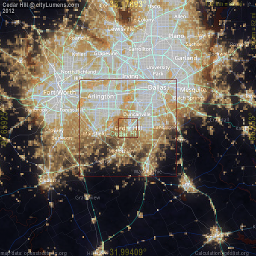
» Earth at Night: Flat Maps 2012, 2016