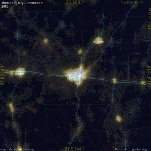
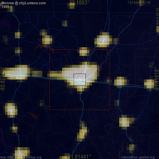
Monroe night lights from space
Night Light of Monroe (Louisiana) from space (United States) Src. Average luminocity for 10x10km area is 87.4286% and for 50x50km: 12.2162%.

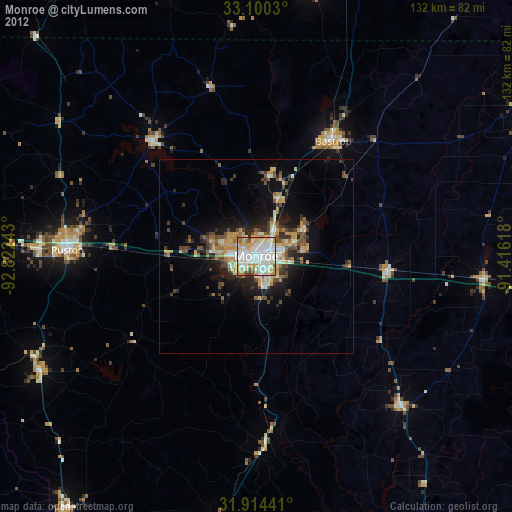
Analysis of Monroe night lights 2016
Square area 10x10 km:
 30.77%
90-99
28.02%80-89
15.38%70-79
8.42%60-69
9.52%50-59
5.31%40-49
1.1%30-39
1.47%20-29
0%10-19
0%0-9
0%Square area 50x50 km:
1.67%90-99
1.81%80-89
1.69%70-79
1.19%60-69
2.04%50-59
2.06%40-49
1.84%30-39
2.14%20-29
3.5%10-19
6.38%0-9
75.68%Clear (daylight) street map image can be seen on geolist.org.
Map coordinates:
33° 6' 1.1" North, 92° 49' 20.7" West
32° 30' 33.5" North, 92° 7' 9.5" West
31° 54' 51.9" North, 91° 24' 58.2" West
Some cities around Monroe sort by population:
• Ruston
48.7 km =30.3 mi,  271°
271°
• El Dorado
92.9 km =57.7 mi,  326°
326°
• West Monroe
2.8 km =1.7 mi,  290°
290°
• Claiborne
6.8 km =4.2 mi,  276°
276°
• Bastrop
35.7 km =22.2 mi,  33°
33°
• Tallulah
88.2 km =54.8 mi,  97°
97°
• Crossett
70.4 km =43.7 mi,  12°
12°
• Grambling
55.8 km =34.7 mi, 272°
4333669 (p: 49,598)
Sources (retrieved 2019-11-25):
» NASA, Earths city lights 1995
» NASA city lights 2003
» Earth at Night: Flat Maps 2012, 2016