Bastrop night lights from space
Night Light of Bastrop (Louisiana) from space (United States) Src. Average luminocity for 10x10km area is 36.2098% and for 50x50km: 4.8713%.
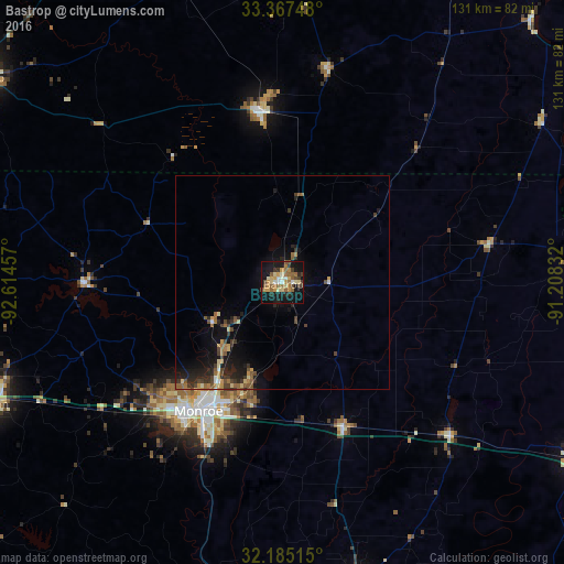
Analysis of Bastrop night lights 2016
Square area 10x10 km:
 1.92%
1.92%90-99
4.2%80-89
6.82%70-79
6.47%60-69
7.87%50-59
6.47%40-49
4.37%30-39
5.24%20-29
4.37%10-19
39.34%0-9
12.94%Square area 50x50 km:
0.16%90-99
0.33%80-89
0.66%70-79
0.67%60-69
0.92%50-59
0.94%40-49
0.87%30-39
1.05%20-29
1.42%10-19
4.38%0-9
88.61%Clear (daylight) street map image can be seen on geolist.org.
Map coordinates:
33° 22' 2.9" North, 92° 36' 52.5" West
32° 46' 41.8" North, 91° 54' 41.2" West
32° 11' 6.5" North, 91° 12' 30" West
Some cities around Bastrop sort by population:
• Monroe
35.7 km =22.2 mi,  213°
213°
• Ruston
73.7 km =45.8 mi,  247°
247°
• El Dorado
85.1 km =52.9 mi,  304°
304°
• West Monroe
36.4 km =22.6 mi,  217°
217°
• Claiborne
39.2 km =24.4 mi, 221°
• Tallulah
79.4 km =49.3 mi,  121°
121°
• Crossett
39.2 km =24.4 mi,  353°
353°
• Grambling
80.1 km =49.8 mi, 249°
4315535 (p: 10,713)
Sources (retrieved 2019-11-25):
» Earth at Night: Flat Maps 2012, 2016