Bowie night lights from space
Night Light of Bowie (Texas) from space (United States) Src. Average luminocity for 10x10km area is 15.3388% and for 50x50km: 1.0109%.
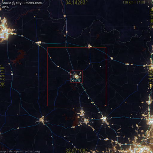
Analysis of Bowie night lights 2016
Square area 10x10 km:
 0.55%
0.55%90-99
0.18%80-89
0.92%70-79
4.03%60-69
2.75%50-59
5.13%40-49
2.38%30-39
3.3%20-29
2.56%10-19
4.21%0-9
73.99%Square area 50x50 km:
0.02%90-99
0.04%80-89
0.12%70-79
0.21%60-69
0.19%50-59
0.3%40-49
0.11%30-39
0.25%20-29
0.2%10-19
0.19%0-9
98.37%Clear (daylight) street map image can be seen on geolist.org.
Map coordinates:
34° 8' 34.5" North, 98° 33' 6.4" West
33° 33' 32.4" North, 97° 50' 55.1" West
32° 58' 15.9" North, 97° 8' 43.9" West
Some cities around Bowie sort by population:
• Denton
76.7 km =47.7 mi,  119°
119°
• Wichita Falls
71.5 km =44.4 mi,  303°
303°
• Gainesville
66.7 km =41.4 mi,  83°
83°
• Azle
79 km =49.1 mi,  159°
159°
• Sanger
66.3 km =41.2 mi,  109°
109°
• Decatur
43.6 km =27.1 mi,  145°
145°
• Bridgeport
39.8 km =24.7 mi,  167°
167°
• Briar
68.8 km =42.8 mi, 155°
4675803 (p: 5,126)
Sources (retrieved 2019-11-25):
» Earth at Night: Flat Maps 2012, 2016