Glenshaw night lights from space
Night Light of Glenshaw (Pennsylvania) from space (United States) Src. Average luminocity for 10x10km area is 64.6837% and for 50x50km: 52.1863%.
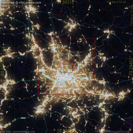
Analysis of Glenshaw night lights 2016
Square area 10x10 km:
 7.31%
7.31%90-99
7.65%80-89
8.33%70-79
11.73%60-69
20.07%50-59
23.47%40-49
13.78%30-39
2.21%20-29
5.44%10-19
0%0-9
0%Square area 50x50 km:
8.63%90-99
9.67%80-89
6.14%70-79
7.29%60-69
10.44%50-59
11.82%40-49
9.5%30-39
6.42%20-29
8.7%10-19
9.85%0-9
11.55%Clear (daylight) street map image can be seen on geolist.org.
Map coordinates:
41° 3' 54.4" North, 80° 40' 14.4" West
40° 31' 58.3" North, 79° 58' 3.2" West
39° 59' 46.8" North, 79° 15' 51.9" West
Some cities around Glenshaw sort by population:
• Pittsburgh
10.5 km =6.5 mi,  193°
193°
• Penn Hills
11.4 km =7.1 mi,  107°
107°
• Allison Park
3.1 km =1.9 mi,  14°
14°
• Bellevue
8.3 km =5.2 mi,  238°
238°
• West View
5.8 km =3.6 mi,  258°
258°
• Oakmont
10.7 km =6.6 mi,  96°
96°
• McKees Rocks
11.2 km =7 mi,  227°
227°
• Fox Chapel
7.7 km =4.8 mi, 106°
5191335 (p: 8,981)
Sources (retrieved 2019-11-25):
» Earth at Night: Flat Maps 2012, 2016