Penn Hills night lights from space
Night Light of Penn Hills (Pennsylvania) from space (United States) Src. Average luminocity for 10x10km area is 70.7755% and for 50x50km: 50.9955%.
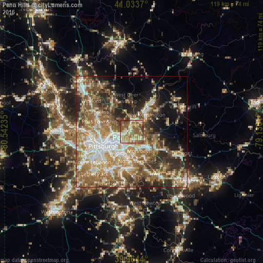
Analysis of Penn Hills night lights 2016
Square area 10x10 km:
 8.5%
8.5%90-99
13.61%80-89
11.39%70-79
10.88%60-69
21.94%50-59
25.51%40-49
6.12%30-39
2.04%20-29
0%10-19
0%0-9
0%Square area 50x50 km:
8.15%90-99
9.46%80-89
6.44%70-79
7.77%60-69
10.04%50-59
11.34%40-49
8.57%30-39
6.18%20-29
8.49%10-19
9.15%0-9
14.41%Clear (daylight) street map image can be seen on geolist.org.
Map coordinates:
41° 2' 1.3" North, 80° 32' 32.5" West
40° 30' 4.2" North, 79° 50' 21.2" West
39° 57' 51.8" North, 79° 8' 10" West
Some cities around Penn Hills sort by population:
• Plum
7.6 km =4.7 mi,  90°
90°
• Wilkinsburg
7.5 km =4.7 mi,  208°
208°
• New Kensington
9.9 km =6.2 mi,  39°
39°
• Lower Burrell
9 km =5.6 mi,  50°
50°
• Swissvale
9.4 km =5.8 mi,  203°
203°
• Forest Hills
9.1 km =5.7 mi,  185°
185°
• Oakmont
2.3 km =1.4 mi,  353°
353°
• Fox Chapel
3.7 km =2.3 mi,  291°
291°
5205377 (p: 44,610)
Sources (retrieved 2019-11-25):
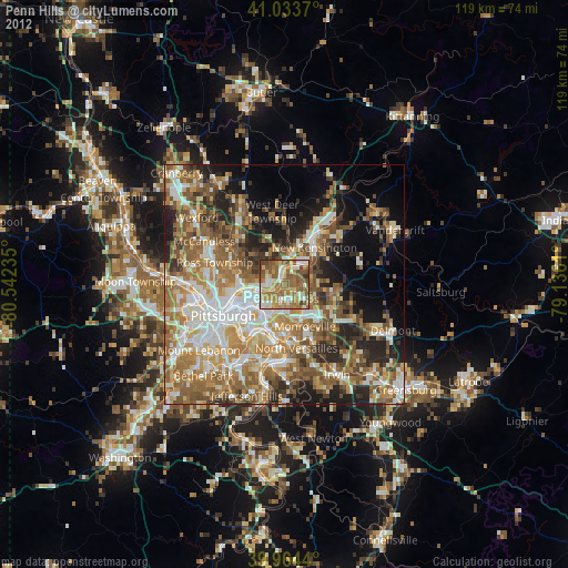
» Earth at Night: Flat Maps 2012, 2016