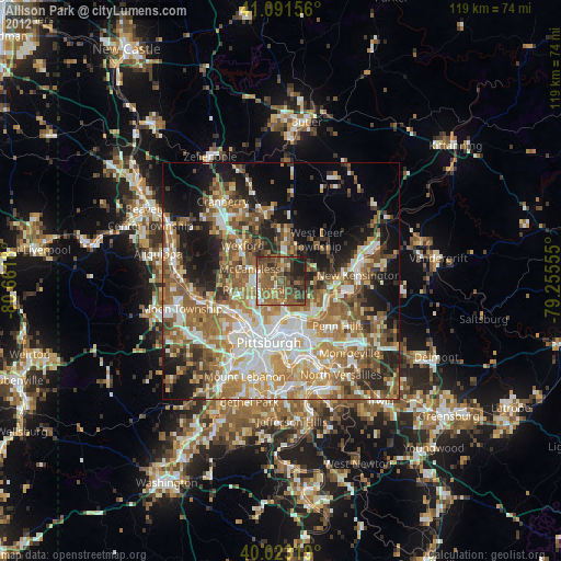
Allison Park night lights from space
Night Light of Allison Park (Pennsylvania) from space (United States) Src. Average luminocity for 10x10km area is 52.1023% and for 50x50km: 49.2435%.

Analysis of Allison Park night lights 2016
Square area 10x10 km:
 2.44%
2.44%90-99
3.41%80-89
3.9%70-79
5.84%60-69
12.99%50-59
24.35%40-49
24.03%30-39
9.74%20-29
11.53%10-19
1.79%0-9
0%Square area 50x50 km:
8.41%90-99
9.21%80-89
5.92%70-79
6.87%60-69
8.91%50-59
10.67%40-49
8.93%30-39
6.16%20-29
8.67%10-19
10.4%0-9
15.85%Clear (daylight) street map image can be seen on geolist.org.
Map coordinates:
41° 5' 29.6" North, 80° 39' 42.5" West
40° 33' 34.2" North, 79° 57' 31.2" West
40° 1' 23.5" North, 79° 15' 20" West
Some cities around Allison Park sort by population:
• Pittsburgh
13.6 km =8.5 mi,  193°
193°
• Penn Hills
12 km =7.5 mi,  122°
122°
• Franklin Park
11.2 km =7 mi,  283°
283°
• Glenshaw
3.1 km =1.9 mi, 194°
• Bellevue
10.7 km =6.6 mi,  227°
227°
• West View
7.6 km =4.7 mi,  237°
237°
• Oakmont
10.7 km =6.6 mi,  113°
113°
• Fox Chapel
8.4 km =5.2 mi,  127°
127°
5178165 (p: 21,552)
Sources (retrieved 2019-11-25):
» Earth at Night: Flat Maps 2012, 2016