Cromwell night lights from space
Night Light of Cromwell (Connecticut) from space (United States) Src. Average luminocity for 10x10km area is 54.8328% and for 50x50km: 35.612%.
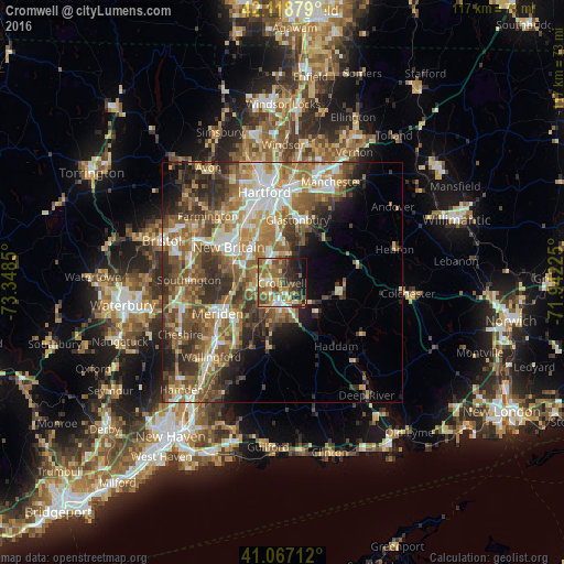
Analysis of Cromwell night lights 2016
Square area 10x10 km:
 6.17%
6.17%90-99
7.14%80-89
8.77%70-79
9.74%60-69
11.53%50-59
14.94%40-49
9.25%30-39
7.79%20-29
12.82%10-19
11.36%0-9
0.49%Square area 50x50 km:
5.34%90-99
5.53%80-89
4.48%70-79
5.43%60-69
7.29%50-59
7.63%40-49
6.35%30-39
6.81%20-29
6.78%10-19
5.98%0-9
38.4%Clear (daylight) street map image can be seen on geolist.org.
Map coordinates:
42° 7' 7.6" North, 73° 20' 54.6" West
41° 35' 42.4" North, 72° 38' 43.3" West
41° 4' 1.6" North, 71° 56' 32.1" West
Some cities around Cromwell sort by population:
• New Britain
13.4 km =8.3 mi,  303°
303°
• Middletown
3.7 km =2.3 mi,  186°
186°
• Glastonbury
13.4 km =8.3 mi,  13°
13°
• Newington
13.2 km =8.2 mi,  330°
330°
• Wethersfield
13.3 km =8.3 mi,  357°
357°
• Kensington
11.2 km =7 mi,  293°
293°
• Glastonbury Center
12.4 km =7.7 mi,  17°
17°
• Portland
2.5 km =1.6 mi,  170°
170°
4832121 (p: 13,750)
Sources (retrieved 2019-11-25):
» Earth at Night: Flat Maps 2012, 2016