Pearland night lights from space
Night Light of Pearland (Texas) from space (United States) Src. Average luminocity for 10x10km area is 82.6004% and for 50x50km: 72.833%.
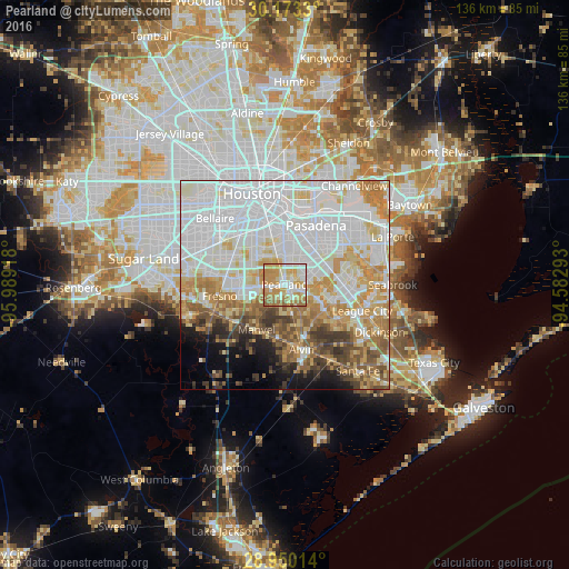
Analysis of Pearland night lights 2016
Square area 10x10 km:
 16.48%
90-99
22.92%80-89
14.2%70-79
26.7%60-69
15.15%50-59
4.55%40-49
0%30-39
0%20-29
0%10-19
0%0-9
0%Square area 50x50 km:
29.64%90-99
16.96%80-89
8.36%70-79
9.3%60-69
7.86%50-59
5.45%40-49
4.1%30-39
3.93%20-29
2.34%10-19
4.31%0-9
7.76%Clear (daylight) street map image can be seen on geolist.org.
Map coordinates:
30° 10' 23.9" North, 95° 59' 21" West
29° 33' 48.9" North, 95° 17' 9.8" West
28° 57' 0.5" North, 94° 34' 58.5" West
Some cities around Pearland sort by population:
• Pasadena
16 km =9.9 mi,  27°
27°
• League City
19.5 km =12.1 mi,  108°
108°
• Friendswood
9.1 km =5.7 mi, 114°
• Alvin
16.1 km =10 mi,  165°
165°
• Fresno
15.9 km =9.9 mi,  260°
260°
• South Houston
12.1 km =7.5 mi,  23°
23°
• Webster
16.5 km =10.3 mi,  100°
100°
• Manvel
13.2 km =8.2 mi,  211°
211°
4718097 (p: 108,821)
Sources (retrieved 2019-11-25):
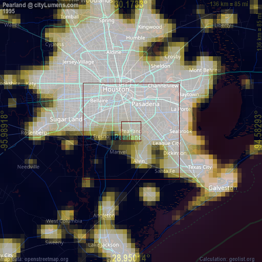
» NASA, Earths city lights 1995
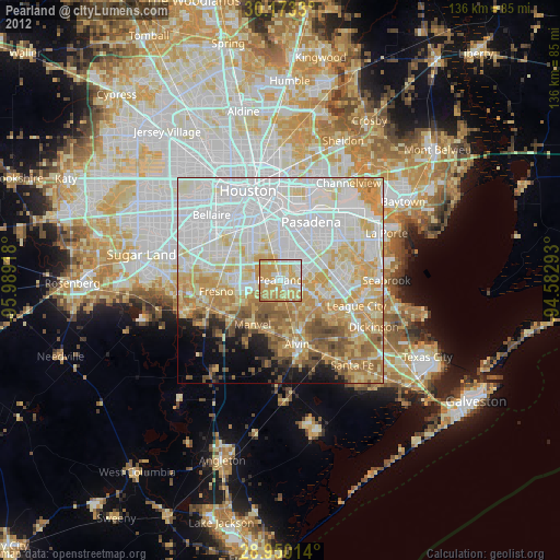
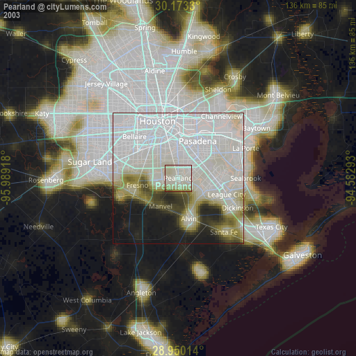
» NASA city lights 2003
» Earth at Night: Flat Maps 2012, 2016