Frankfort night lights from space
Night Light of Frankfort (Indiana) from space (United States) Src. Average luminocity for 10x10km area is 28.0663% and for 50x50km: 3.4838%.
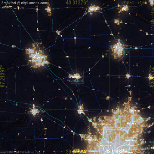
Analysis of Frankfort night lights 2016
Square area 10x10 km:
 5.61%
5.61%90-99
6.97%80-89
2.89%70-79
3.06%60-69
1.87%50-59
1.19%40-49
1.02%30-39
2.55%20-29
4.42%10-19
35.54%0-9
34.86%Square area 50x50 km:
0.36%90-99
0.48%80-89
0.3%70-79
0.54%60-69
0.26%50-59
0.52%40-49
0.32%30-39
0.7%20-29
0.72%10-19
3.14%0-9
92.67%Clear (daylight) street map image can be seen on geolist.org.
Map coordinates:
40° 48' 49.5" North, 87° 12' 50.3" West
40° 16' 46.1" North, 86° 30' 39" West
39° 44' 27.4" North, 85° 48' 27.8" West
Some cities around Frankfort sort by population:
• Lafayette
34.4 km =21.4 mi,  296°
296°
• Kokomo
39.4 km =24.5 mi,  54°
54°
• West Lafayette
37.4 km =23.2 mi, 295°
• Westfield
41.9 km =26 mi,  128°
128°
• Crawfordsville
40.7 km =25.3 mi,  229°
229°
• Lebanon
25.9 km =16.1 mi,  172°
172°
• Whitestown
34.4 km =21.4 mi,  155°
155°
• Tipton
39.8 km =24.7 mi,  89°
89°
4920473 (p: 16,060)
Sources (retrieved 2019-11-25):
» Earth at Night: Flat Maps 2012, 2016