Kokomo night lights from space
Night Light of Kokomo (Indiana) from space (United States) Src. Average luminocity for 10x10km area is 63.5646% and for 50x50km: 6.5947%.
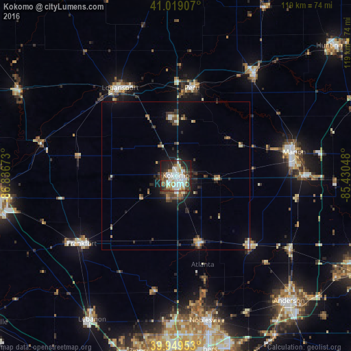
Analysis of Kokomo night lights 2016
Square area 10x10 km:
 18.37%
90-99
18.88%80-89
5.61%70-79
6.63%60-69
3.57%50-59
6.12%40-49
8.16%30-39
8.5%20-29
14.97%10-19
9.01%0-9
0.17%Square area 50x50 km:
0.92%90-99
1.09%80-89
0.65%70-79
0.67%60-69
0.66%50-59
0.68%40-49
1.05%30-39
1.34%20-29
1.88%10-19
4.15%0-9
86.92%Clear (daylight) street map image can be seen on geolist.org.
Map coordinates:
41° 1' 8.7" North, 86° 50' 12.2" West
40° 29' 11.1" North, 86° 8' 1" West
39° 56' 58.3" North, 85° 25' 49.7" West
Some cities around Kokomo sort by population:
• Marion
40.9 km =25.4 mi,  78°
78°
• Logansport
35.3 km =21.9 mi,  327°
327°
• Frankfort
39.4 km =24.5 mi,  234°
234°
• Peru
30.2 km =18.8 mi,  10°
10°
• Elwood
34 km =21.1 mi,  133°
133°
• Mount Vernon
33.1 km =20.6 mi,  52°
52°
• Grissom Air Force Base
19.1 km =11.9 mi,  356°
356°
• Tipton
24 km =14.9 mi,  160°
160°
4922388 (p: 57,995)
Sources (retrieved 2019-11-25):
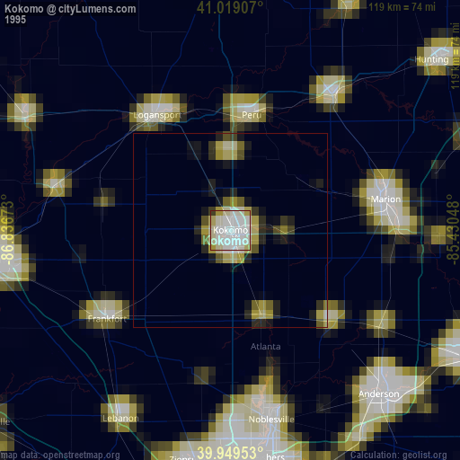
» NASA, Earths city lights 1995
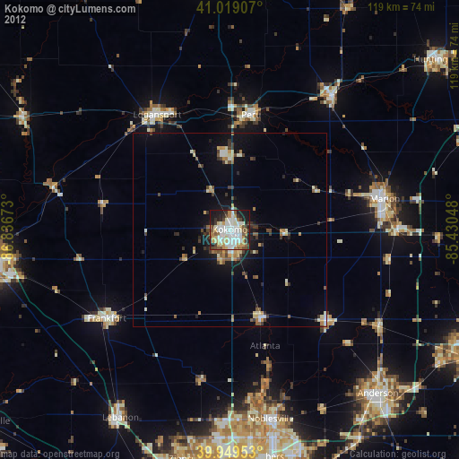
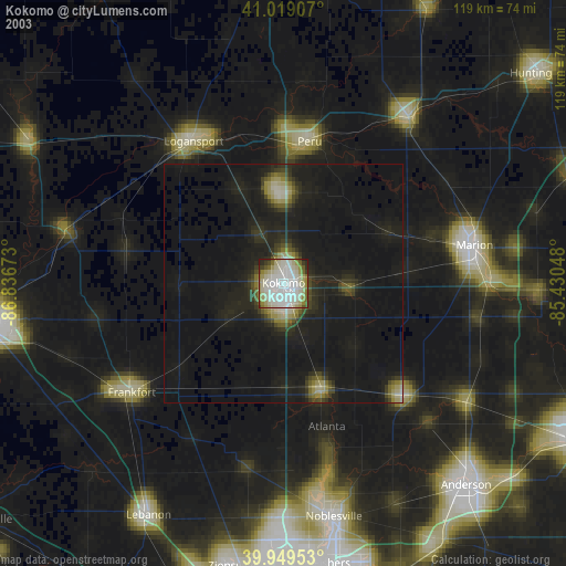
» NASA city lights 2003
» Earth at Night: Flat Maps 2012, 2016