Alpine night lights from space
Night Light of Alpine (Texas) from space (United States) Src. Average luminocity for 10x10km area is 14.3516% and for 50x50km: 0.6114%.
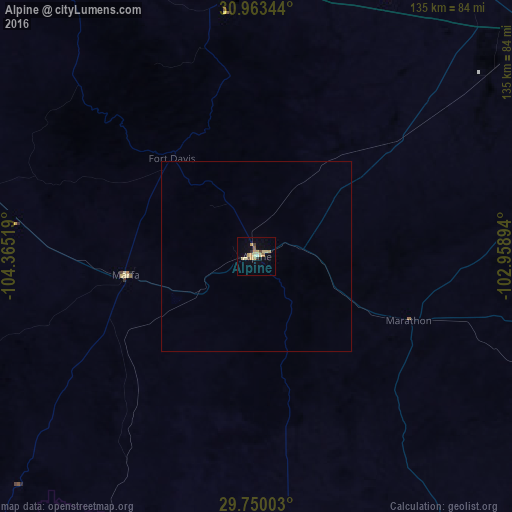
Analysis of Alpine night lights 2016
Square area 10x10 km:
 0%
0%90-99
0.92%80-89
5.86%70-79
4.21%60-69
0.73%50-59
0.73%40-49
2.01%30-39
0.37%20-29
1.28%10-19
0.55%0-9
83.33%Square area 50x50 km:
0%90-99
0.04%80-89
0.24%70-79
0.17%60-69
0.03%50-59
0.03%40-49
0.08%30-39
0.01%20-29
0.05%10-19
0.02%0-9
99.33%Clear (daylight) street map image can be seen on geolist.org.
Map coordinates:
30° 57' 48.4" North, 104° 21' 54.7" West
30° 21' 31" North, 103° 39' 43.4" West
29° 45' 0.1" North, 102° 57' 32.2" West
Some cities around Alpine sort by population:
• Odessa
206.2 km =128.1 mi,  36°
36°
• Manuel Ojinaga, MX
114.4 km =71.1 mi,  219°
219°
• West Odessa
198.7 km =123.5 mi,  33°
33°
• Ojinaga, MX
122.4 km =76.1 mi, 224°
• Pecos
119.4 km =74.2 mi,  7°
7°
• Fort Stockton
95.7 km =59.5 mi,  51°
51°
• Monahans
155.7 km =96.7 mi, 28°
• Kermit
175.3 km =108.9 mi,  18°
18°
5516203 (p: 5,952)
Sources (retrieved 2019-11-25):
» Earth at Night: Flat Maps 2012, 2016