Florissant night lights from space
Night Light of Florissant (Missouri) from space (United States) Src. Average luminocity for 10x10km area is 88.9286% and for 50x50km: 58.416%.
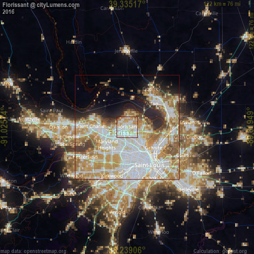
Analysis of Florissant night lights 2016
Square area 10x10 km:
 27.55%
90-99
32.65%80-89
17.01%70-79
11.9%60-69
7.65%50-59
1.87%40-49
0.68%30-39
0.34%20-29
0.34%10-19
0%0-9
0%Square area 50x50 km:
17.79%90-99
14.09%80-89
7.74%70-79
10.35%60-69
7.71%50-59
5.13%40-49
2.92%30-39
3.22%20-29
5.3%10-19
5.64%0-9
20.09%Clear (daylight) street map image can be seen on geolist.org.
Map coordinates:
39° 20' 6.6" North, 91° 1' 32.7" West
38° 47' 21.2" North, 90° 19' 21.4" West
38° 14' 20.6" North, 89° 37' 10.2" West
Some cities around Florissant sort by population:
• Hazelwood
4.6 km =2.9 mi,  244°
244°
• Ferguson
5.2 km =3.2 mi,  163°
163°
• Old Jamestown
6 km =3.7 mi,  32°
32°
• Bridgeton
8.1 km =5 mi,  252°
252°
• Berkeley
3.9 km =2.4 mi,  190°
190°
• Black Jack
4.8 km =3 mi,  84°
84°
• Saint John
8.5 km =5.3 mi, 193°
• Dellwood
5.5 km =3.4 mi,  144°
144°
4386802 (p: 52,268)
Sources (retrieved 2019-11-25):
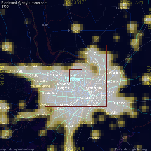
» NASA, Earths city lights 1995
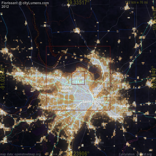
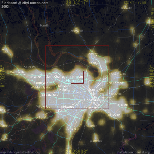
» NASA city lights 2003
» Earth at Night: Flat Maps 2012, 2016