Florence night lights from space
Night Light of Florence (South Carolina) from space (United States) Src. Average luminocity for 10x10km area is 79.5971% and for 50x50km: 17.8909%.
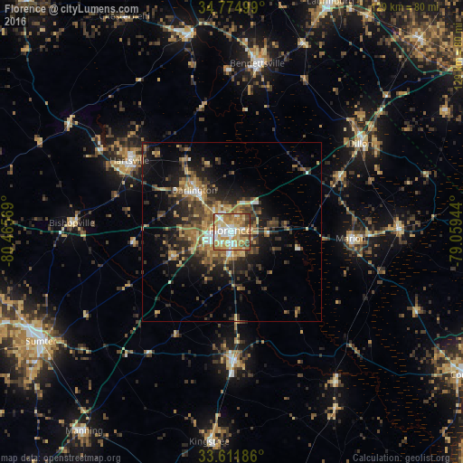
Analysis of Florence night lights 2016
Square area 10x10 km:
 18.13%
90-99
14.84%80-89
20.15%70-79
21.06%60-69
12.45%50-59
4.21%40-49
7.69%30-39
1.47%20-29
0%10-19
0%0-9
0%Square area 50x50 km:
1.45%90-99
1.33%80-89
2.89%70-79
2.83%60-69
3.89%50-59
2.14%40-49
3.62%30-39
4.51%20-29
5.43%10-19
9.1%0-9
62.8%Clear (daylight) street map image can be seen on geolist.org.
Map coordinates:
34° 46' 30" North, 80° 27' 56.5" West
34° 11' 43.5" North, 79° 45' 45.2" West
33° 36' 42.7" North, 79° 3' 34" West
Some cities around Florence sort by population:
• Red Hill
51.3 km =31.9 mi,  115°
115°
• Bennettsville
47.5 km =29.5 mi,  8°
8°
• Hartsville
34.8 km =21.6 mi,  304°
304°
• Lake City
36.1 km =22.4 mi,  178°
178°
• Marion
33.3 km =20.7 mi,  93°
93°
• Dillon
43.6 km =27.1 mi,  55°
55°
• Darlington
15.6 km =9.7 mi,  318°
318°
• Cheraw
56.9 km =35.4 mi,  348°
348°
4578737 (p: 38,228)
Sources (retrieved 2019-11-25):
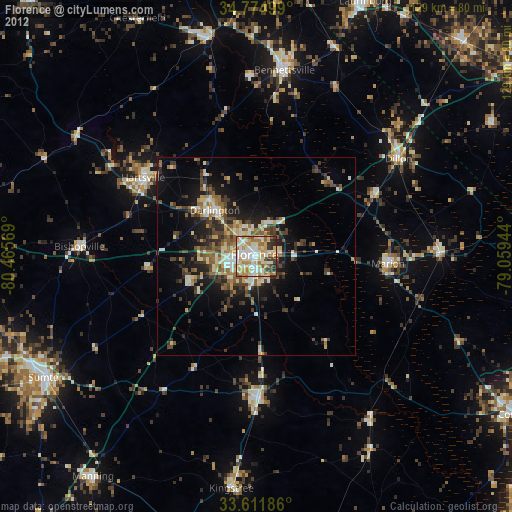
» Earth at Night: Flat Maps 2012, 2016