El Dorado night lights from space
Night Light of El Dorado (Kansas) from space (United States) Src. Average luminocity for 10x10km area is 33.8605% and for 50x50km: 3.8443%.
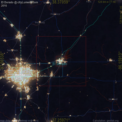
Analysis of El Dorado night lights 2016
Square area 10x10 km:
 4.93%
4.93%90-99
5.44%80-89
5.78%70-79
0.85%60-69
6.29%50-59
5.95%40-49
4.25%30-39
3.4%20-29
5.78%10-19
37.59%0-9
19.73%Square area 50x50 km:
0.24%90-99
0.42%80-89
0.61%70-79
0.17%60-69
0.69%50-59
0.61%40-49
0.65%30-39
0.88%20-29
0.82%10-19
2.93%0-9
91.98%Clear (daylight) street map image can be seen on geolist.org.
Map coordinates:
38° 22' 14.1" North, 97° 33' 55.4" West
37° 49' 2.1" North, 96° 51' 44.1" West
37° 15' 35" North, 96° 9' 32.9" West
Some cities around El Dorado sort by population:
• Wichita
44 km =27.3 mi,  251°
251°
• Derby
46.8 km =29.1 mi,  229°
229°
• Newton
49.4 km =30.7 mi,  301°
301°
• Andover
26.7 km =16.6 mi,  244°
244°
• Augusta
17.7 km =11 mi,  214°
214°
• Park City
40.1 km =24.9 mi,  267°
267°
• Valley Center
44.9 km =27.9 mi, 272°
• Mulvane
50.8 km =31.6 mi,  221°
221°
4270863 (p: 12,931)
Sources (retrieved 2019-11-25):
» Earth at Night: Flat Maps 2012, 2016