Brockton night lights from space
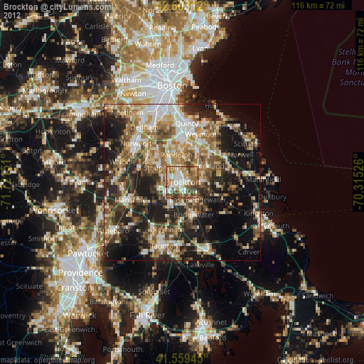
Night Light of Brockton (Massachusetts) from space (United States) Src. Average luminocity for 10x10km area is 76.6106% and for 50x50km: 45.1161%.
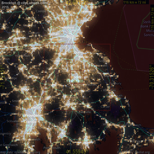
Analysis of Brockton night lights 2016
Square area 10x10 km:
 16.21%
90-99
20.91%80-89
8.79%70-79
11.82%60-69
15.76%50-59
18.64%40-49
6.82%30-39
1.06%20-29
0%10-19
0%0-9
0%Square area 50x50 km:
6.41%90-99
7.79%80-89
5.23%70-79
5.07%60-69
8.14%50-59
9.28%40-49
8.92%30-39
8.66%20-29
13.17%10-19
14.42%0-9
12.91%Clear (daylight) street map image can be seen on geolist.org.
Map coordinates:
42° 36' 11.2" North, 71° 43' 17.4" West
42° 5' 0.3" North, 71° 1' 6.2" West
41° 33' 34" North, 70° 18' 54.9" West
Some cities around Brockton sort by population:
• Randolph
9 km =5.6 mi,  347°
347°
• Stoughton
8.3 km =5.2 mi,  303°
303°
• Rockland
9.9 km =6.2 mi,  58°
58°
• Abington
6.5 km =4 mi,  68°
68°
• Whitman
6.8 km =4.2 mi,  92°
92°
• East Bridgewater
7.4 km =4.6 mi,  138°
138°
• Holbrook
8 km =5 mi,  5°
5°
• West Bridgewater
7.2 km =4.5 mi,  173°
173°
4931429 (p: 95,314)
Sources (retrieved 2019-11-25):
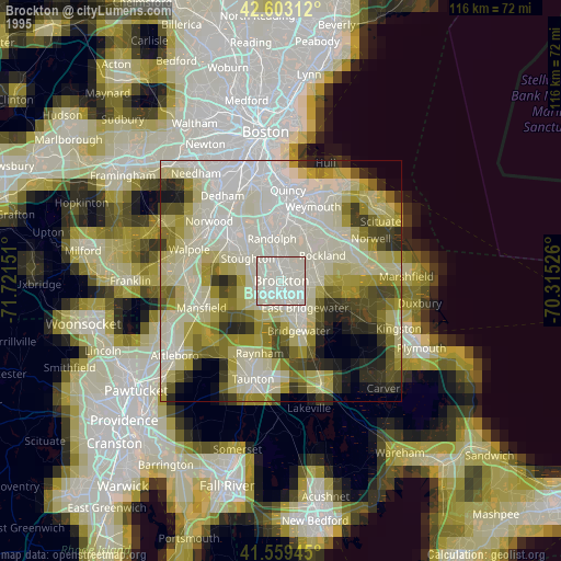
» NASA, Earths city lights 1995
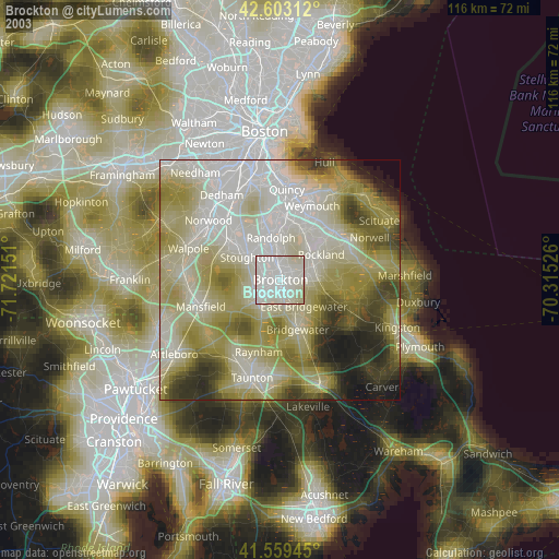
» NASA city lights 2003
» Earth at Night: Flat Maps 2012, 2016