East Norwalk night lights from space
Night Light of East Norwalk (Connecticut) from space (United States) Src. Average luminocity for 10x10km area is 58.4416% and for 50x50km: 26.8484%.
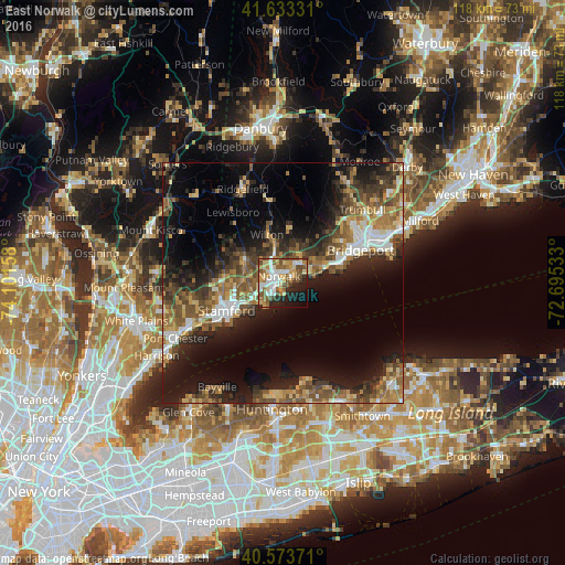
Analysis of East Norwalk night lights 2016
Square area 10x10 km:
 11.36%
90-99
10.71%80-89
10.06%70-79
10.71%60-69
5.19%50-59
14.12%40-49
8.28%30-39
2.11%20-29
11.04%10-19
12.18%0-9
4.22%Square area 50x50 km:
3%90-99
3.02%80-89
3.32%70-79
3.46%60-69
4.65%50-59
6.06%40-49
5.13%30-39
5%20-29
8.26%10-19
15.1%0-9
42.99%Clear (daylight) street map image can be seen on geolist.org.
Map coordinates:
41° 37' 59.9" North, 74° 6' 5.7" West
41° 6' 20.3" North, 73° 23' 54.4" West
40° 34' 25.4" North, 72° 41' 43.2" West
Some cities around East Norwalk sort by population:
• Stamford
13.1 km =8.1 mi,  243°
243°
• North Stamford
12.7 km =7.9 mi,  286°
286°
• Norwalk
1.5 km =0.9 mi,  329°
329°
• Fairfield
12 km =7.5 mi,  70°
70°
• Westport
5.2 km =3.2 mi,  40°
40°
• Darien
6.6 km =4.1 mi, 243°
• New Canaan
9.3 km =5.8 mi,  299°
299°
• Wilton
10.5 km =6.5 mi,  341°
341°
4833505 (p: 84,530)
Sources (retrieved 2019-11-25):
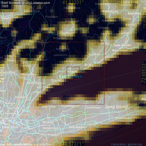
» NASA, Earths city lights 1995
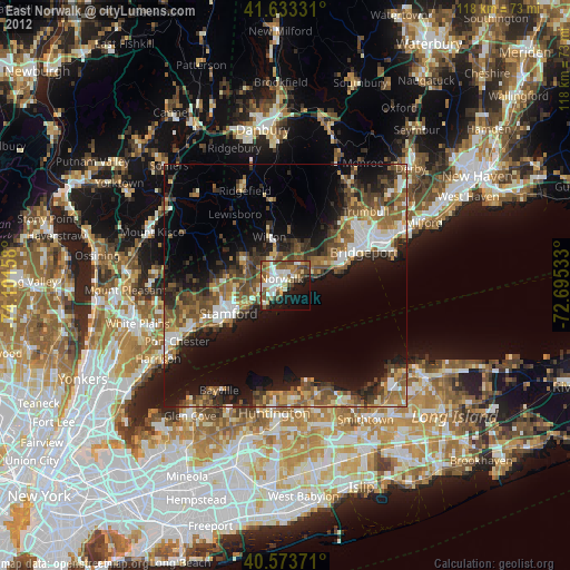
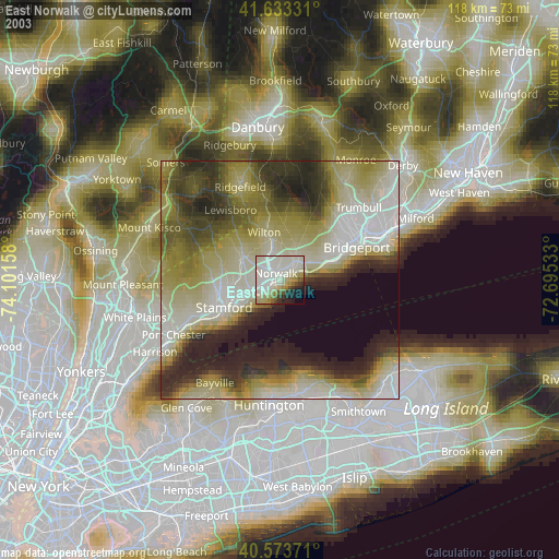
» NASA city lights 2003
» Earth at Night: Flat Maps 2012, 2016