Stamford night lights from space
Night Light of Stamford (Connecticut) from space (United States) Src. Average luminocity for 10x10km area is 61.8061% and for 50x50km: 37.2594%.
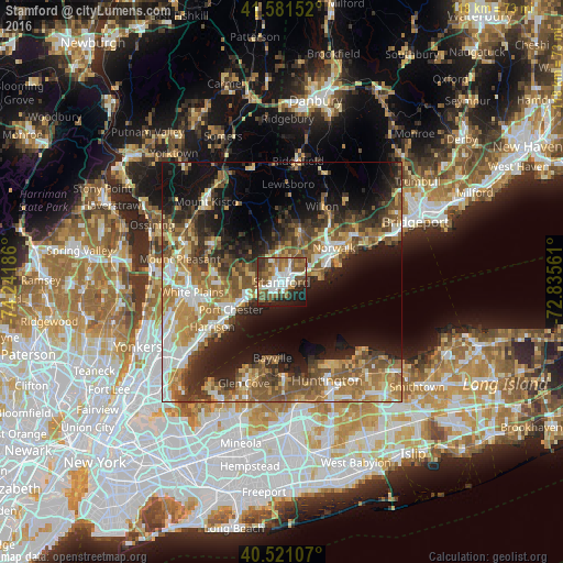
Analysis of Stamford night lights 2016
Square area 10x10 km:
 14.63%
90-99
13.95%80-89
2.89%70-79
5.61%60-69
11.22%50-59
19.05%40-49
7.82%30-39
6.12%20-29
11.56%10-19
6.8%0-9
0.34%Square area 50x50 km:
4.79%90-99
5.42%80-89
4.53%70-79
6.12%60-69
7.61%50-59
8.01%40-49
5.95%30-39
5.52%20-29
8.66%10-19
14.97%0-9
28.42%Clear (daylight) street map image can be seen on geolist.org.
Map coordinates:
41° 34' 53.5" North, 74° 14' 30.7" West
41° 3' 12.3" North, 73° 32' 19.4" West
40° 31' 15.9" North, 72° 50' 8.2" West
Some cities around Stamford sort by population:
• North Stamford
9.4 km =5.8 mi,  357°
357°
• Port Chester
12.1 km =7.5 mi,  241°
241°
• Darien
6.5 km =4 mi,  64°
64°
• New Canaan
11 km =6.8 mi,  19°
19°
• Greenwich
8.1 km =5 mi,  248°
248°
• Riverside
4 km =2.5 mi, 236°
• Cos Cob
5.6 km =3.5 mi, 246°
• Old Greenwich
4 km =2.5 mi,  212°
212°
4843564 (p: 128,874)
Sources (retrieved 2019-11-25):
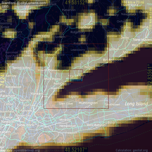
» NASA, Earths city lights 1995
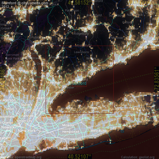
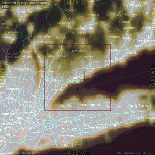
» NASA city lights 2003
» Earth at Night: Flat Maps 2012, 2016