Westport night lights from space
Night Light of Westport (Connecticut) from space (United States) Src. Average luminocity for 10x10km area is 51.4659% and for 50x50km: 24.3798%.
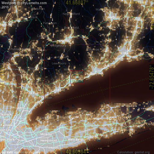
Analysis of Westport night lights 2016
Square area 10x10 km:
 4.38%
4.38%90-99
5.68%80-89
7.31%70-79
8.6%60-69
7.63%50-59
14.94%40-49
13.31%30-39
15.42%20-29
13.96%10-19
8.77%0-9
0%Square area 50x50 km:
2.91%90-99
3.04%80-89
2.79%70-79
2.95%60-69
3.69%50-59
5.57%40-49
4.3%30-39
4.26%20-29
7.77%10-19
14.26%0-9
48.46%Clear (daylight) street map image can be seen on geolist.org.
Map coordinates:
41° 40' 7.9" North, 74° 3' 39.7" West
41° 8' 29.4" North, 73° 21' 28.4" West
40° 36' 35.4" North, 72° 39' 17.2" West
Some cities around Westport sort by population:
• Bridgeport
14.7 km =9.1 mi,  73°
73°
• Norwalk
5 km =3.1 mi,  237°
237°
• East Norwalk
5.2 km =3.2 mi,  220°
220°
• Fairfield
7.9 km =4.9 mi,  90°
90°
• Darien
11.7 km =7.3 mi,  233°
233°
• New Canaan
11.5 km =7.1 mi,  272°
272°
• Wilton
9 km =5.6 mi,  311°
311°
• Easton
13.4 km =8.3 mi,  22°
22°
4845585 (p: 26,391)
Sources (retrieved 2019-11-25):
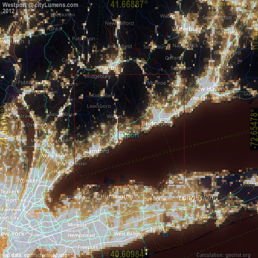
» Earth at Night: Flat Maps 2012, 2016