Copiague night lights from space
Night Light of Copiague (New York) from space (United States) Src. Average luminocity for 10x10km area is 77.6396% and for 50x50km: 47.0689%.
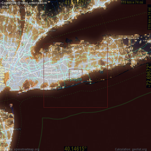
Analysis of Copiague night lights 2016
Square area 10x10 km:
 32.47%
90-99
29.55%80-89
6.01%70-79
2.27%60-69
1.95%50-59
2.92%40-49
1.95%30-39
6.66%20-29
13.64%10-19
2.6%0-9
0%Square area 50x50 km:
15.3%90-99
11.24%80-89
5.84%70-79
7.22%60-69
6.2%50-59
4.75%40-49
2.79%30-39
2.32%20-29
4.07%10-19
4.6%0-9
35.67%Clear (daylight) street map image can be seen on geolist.org.
Map coordinates:
41° 12' 45.3" North, 74° 6' 10.7" West
40° 40' 53.4" North, 73° 23' 59.4" West
40° 8' 46.1" North, 72° 41' 48.2" West
Some cities around Copiague sort by population:
• Lindenhurst
2.3 km =1.4 mi,  75°
75°
• East Massapequa
3.2 km =2 mi,  253°
253°
• North Amityville
2.8 km =1.7 mi,  310°
310°
• Massapequa Park
4.7 km =2.9 mi,  268°
268°
• South Farmingdale
5.5 km =3.4 mi,  322°
322°
• North Lindenhurst
4 km =2.5 mi,  22°
22°
• Amityville
1.5 km =0.9 mi,  259°
259°
• East Farmingdale
5.5 km =3.4 mi,  344°
344°
5113683 (p: 22,993)
Sources (retrieved 2019-11-25):
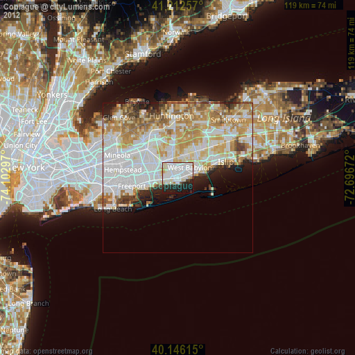
» Earth at Night: Flat Maps 2012, 2016