South Farmingdale night lights from space
Night Light of South Farmingdale (New York) from space (United States) Src. Average luminocity for 10x10km area is 94.9903% and for 50x50km: 50.4308%.
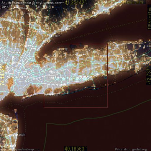
Analysis of South Farmingdale night lights 2016
Square area 10x10 km:
 39.61%
90-99
40.75%80-89
10.71%70-79
8.28%60-69
0.65%50-59
0%40-49
0%30-39
0%20-29
0%10-19
0%0-9
0%Square area 50x50 km:
16.84%90-99
11.73%80-89
5.99%70-79
7.05%60-69
6.03%50-59
5.04%40-49
3.06%30-39
2.68%20-29
5.69%10-19
8.6%0-9
27.29%Clear (daylight) street map image can be seen on geolist.org.
Map coordinates:
41° 15' 5.1" North, 74° 8' 35.7" West
40° 43' 14.4" North, 73° 26' 24.4" West
40° 11' 8.3" North, 72° 44' 13.2" West
Some cities around South Farmingdale sort by population:
• North Massapequa
2.9 km =1.8 mi,  220°
220°
• North Amityville
2.9 km =1.8 mi,  153°
153°
• Massapequa Park
4.7 km =2.9 mi,  195°
195°
• Bethpage
4.4 km =2.7 mi,  306°
306°
• Plainedge
3.7 km =2.3 mi,  264°
264°
• Farmingdale
1.4 km =0.9 mi,  341°
341°
• East Farmingdale
2.2 km =1.4 mi,  64°
64°
• Old Bethpage
4.8 km =3 mi,  346°
346°
5138837 (p: 14,486)
Sources (retrieved 2019-11-25):
» Earth at Night: Flat Maps 2012, 2016