Cypress Hills night lights from space
Night Light of Cypress Hills (New York) from space (United States) Src. Average luminocity for 10x10km area is 96.7597% and for 50x50km: 68.9054%.
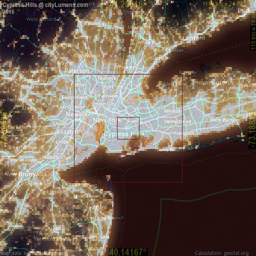
Analysis of Cypress Hills night lights 2016
Square area 10x10 km:
 85.23%
90-99
6.98%80-89
0.97%70-79
0.97%60-69
2.6%50-59
0.65%40-49
2.6%30-39
0%20-29
0%10-19
0%0-9
0%Square area 50x50 km:
41.62%90-99
14.54%80-89
3.66%70-79
3.9%60-69
3.16%50-59
2.07%40-49
2.09%30-39
2.27%20-29
4.81%10-19
5.33%0-9
16.56%Clear (daylight) street map image can be seen on geolist.org.
Map coordinates:
41° 12' 29.4" North, 74° 35' 39.8" West
40° 40' 37.4" North, 73° 53' 28.5" West
40° 8' 30" North, 73° 11' 17.3" West
Some cities around Cypress Hills sort by population:
• East New York
1.4 km =0.9 mi,  146°
146°
• Bushwick
3 km =1.9 mi,  309°
309°
• Canarsie
3.8 km =2.4 mi,  192°
192°
• Brownsville
3 km =1.9 mi,  233°
233°
• Ridgewood
2.8 km =1.7 mi,  334°
334°
• Ozone Park
4 km =2.5 mi,  90°
90°
• Woodhaven
3.1 km =1.9 mi,  64°
64°
• Glendale
2.7 km =1.7 mi,  7°
7°
5114418 (p: 54,944)
Sources (retrieved 2019-11-25):
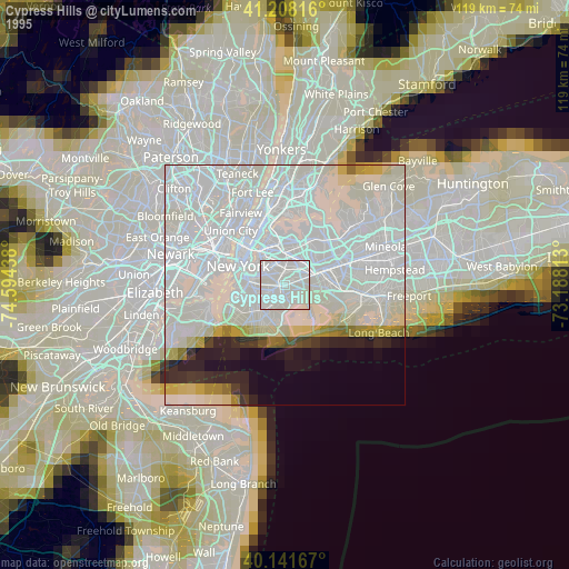
» NASA, Earths city lights 1995
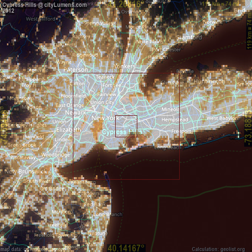
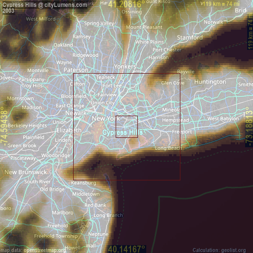
» NASA city lights 2003
» Earth at Night: Flat Maps 2012, 2016