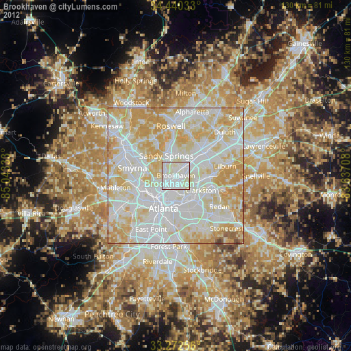
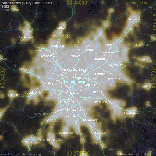
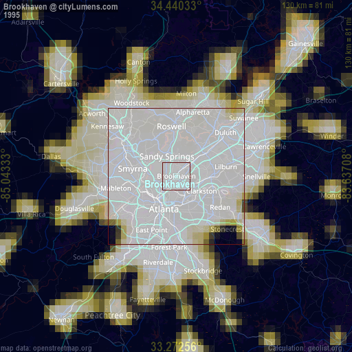
Brookhaven night lights from space
Night Light of Brookhaven (Georgia) from space (United States) Src. Average luminocity for 10x10km area is 96.9126% and for 50x50km: 90.1213%.
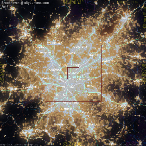
Analysis of Brookhaven night lights 2016
Square area 10x10 km:
 43.53%
90-99
44.41%80-89
12.06%70-79
0%60-69
0%50-59
0%40-49
0%30-39
0%20-29
0%10-19
0%0-9
0%Square area 50x50 km:
31.1%90-99
27.56%80-89
20.64%70-79
16.7%60-69
3.08%50-59
0.39%40-49
0.36%30-39
0.17%20-29
0%10-19
0%0-9
0%Clear (daylight) street map image can be seen on geolist.org.
Map coordinates:
34° 26' 25.2" North, 85° 2' 36" West
33° 51' 30.4" North, 84° 20' 24.7" West
33° 16' 21.2" North, 83° 38' 13.5" West
Some cities around Brookhaven sort by population:
• Sandy Springs
8.1 km =5 mi,  334°
334°
• Dunwoody
9.8 km =6.1 mi,  3°
3°
• North Atlanta
0.8 km =0.5 mi,  24°
24°
• Chamblee
5.3 km =3.3 mi,  45°
45°
• North Druid Hills
5.3 km =3.3 mi,  151°
151°
• North Decatur
8.2 km =5.1 mi,  157°
157°
• Druid Hills
8.7 km =5.4 mi,  177°
177°
• Doraville
6.9 km =4.3 mi, 49°
4184530 (p: 51,910)
Sources (retrieved 2019-11-25):
» NASA, Earths city lights 1995
» NASA city lights 2003
» Earth at Night: Flat Maps 2012, 2016