Palm Harbor night lights from space
Night Light of Palm Harbor (Florida) from space (United States) Src. Average luminocity for 10x10km area is 71.5436% and for 50x50km: 43.3757%.
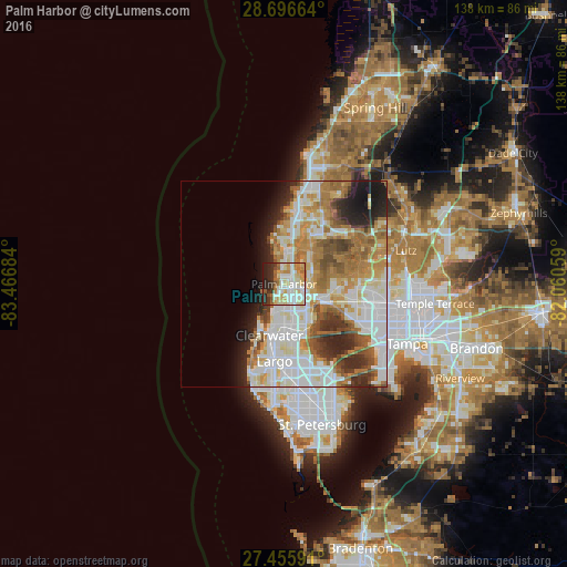
Analysis of Palm Harbor night lights 2016
Square area 10x10 km:
 17.61%
90-99
18.56%80-89
15.34%70-79
11.74%60-69
7.77%50-59
4.36%40-49
2.65%30-39
4.73%20-29
13.45%10-19
3.79%0-9
0%Square area 50x50 km:
11.94%90-99
10.03%80-89
4.98%70-79
5.75%60-69
8.73%50-59
4.27%40-49
3.6%30-39
3.02%20-29
6.28%10-19
5.96%0-9
35.45%Clear (daylight) street map image can be seen on geolist.org.
Map coordinates:
28° 41' 47.9" North, 83° 28' 0.6" West
28° 4' 41.1" North, 82° 45' 49.4" West
27° 27' 21.3" North, 82° 3' 38.1" West
Some cities around Palm Harbor sort by population:
• Clearwater
13 km =8.1 mi,  195°
195°
• Dunedin
6.5 km =4 mi,  188°
188°
• East Lake
7.7 km =4.8 mi,  61°
61°
• Tarpon Springs
7.6 km =4.7 mi,  5°
5°
• Holiday
12.4 km =7.7 mi, 10°
• Safety Harbor
11.9 km =7.4 mi,  144°
144°
• Oldsmar
10.8 km =6.7 mi,  116°
116°
• Trinity
14 km =8.7 mi,  35°
35°
4167545 (p: 57,439)
Sources (retrieved 2019-11-25):
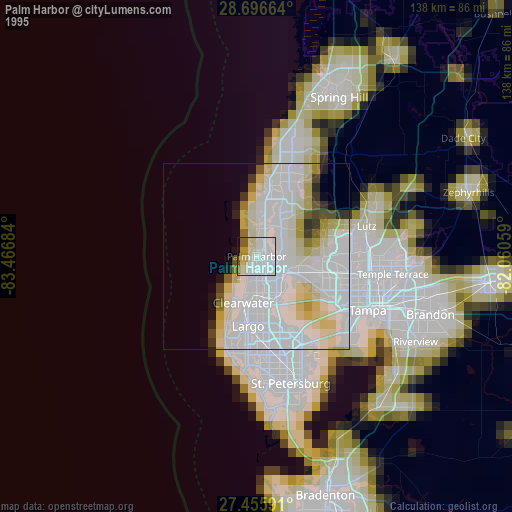
» NASA, Earths city lights 1995
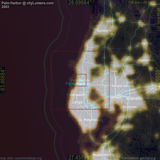
» NASA city lights 2003
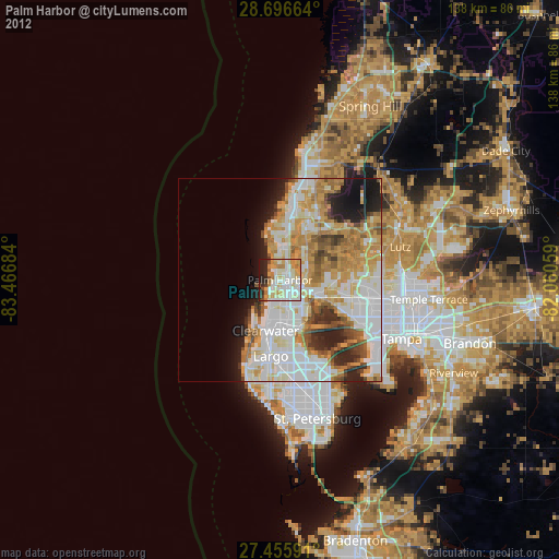
» Earth at Night: Flat Maps 2012, 2016