Lawrenceville night lights from space
Night Light of Lawrenceville (Georgia) from space (United States) Src. Average luminocity for 10x10km area is 87.6608% and for 50x50km: 69.7776%.
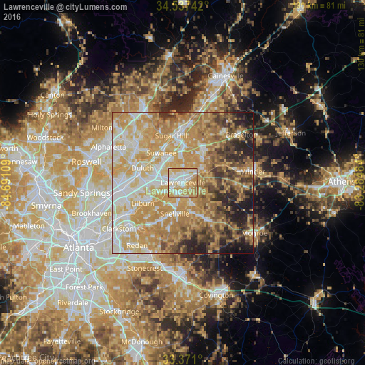
Analysis of Lawrenceville night lights 2016
Square area 10x10 km:
 21.68%
90-99
24.13%80-89
22.55%70-79
27.8%60-69
3.85%50-59
0%40-49
0%30-39
0%20-29
0%10-19
0%0-9
0%Square area 50x50 km:
12.51%90-99
12.71%80-89
14.93%70-79
19.9%60-69
12.3%50-59
5.49%40-49
5.92%30-39
5.54%20-29
6.06%10-19
4.37%0-9
0.26%Clear (daylight) street map image can be seen on geolist.org.
Map coordinates:
34° 32' 14.7" North, 84° 41' 27.9" West
33° 57' 22.4" North, 83° 59' 16.7" West
33° 22' 15.6" North, 83° 17' 5.4" West
Some cities around Lawrenceville sort by population:
• Duluth
15.4 km =9.6 mi,  289°
289°
• Sugar Hill
17.2 km =10.7 mi,  345°
345°
• Snellville
11.4 km =7.1 mi,  195°
195°
• Suwanee
13.1 km =8.1 mi,  324°
324°
• Lilburn
16.1 km =10 mi,  242°
242°
• Loganville
15.3 km =9.5 mi,  148°
148°
• Auburn
16.1 km =10 mi,  66°
66°
• Dacula
9.1 km =5.7 mi, 66°
4205196 (p: 30,493)
Sources (retrieved 2019-11-25):
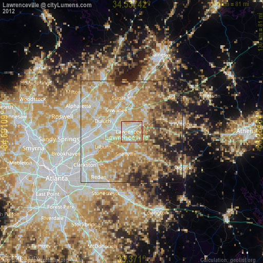
» Earth at Night: Flat Maps 2012, 2016