Maquoketa night lights from space
Night Light of Maquoketa (Iowa) from space (United States) Src. Average luminocity for 10x10km area is 12.1381% and for 50x50km: 1.0269%.
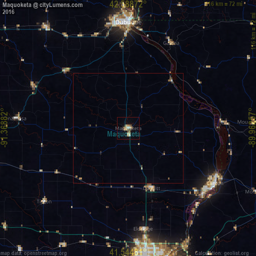
Analysis of Maquoketa night lights 2016
Square area 10x10 km:
 0.95%
0.95%90-99
0.95%80-89
2.22%70-79
2.38%60-69
2.22%50-59
1.43%40-49
1.11%30-39
2.54%20-29
1.43%10-19
0.32%0-9
84.44%Square area 50x50 km:
0.06%90-99
0.04%80-89
0.21%70-79
0.17%60-69
0.2%50-59
0.11%40-49
0.16%30-39
0.16%20-29
0.3%10-19
0.13%0-9
98.47%Clear (daylight) street map image can be seen on geolist.org.
Map coordinates:
42° 35' 19.4" North, 91° 22' 7.8" West
42° 4' 8.1" North, 90° 39' 56.5" West
41° 32' 41.3" North, 89° 57' 45.3" West
Some cities around Maquoketa sort by population:
• Davenport
61.1 km =38 mi,  173°
173°
• Dubuque
48 km =29.8 mi,  0°
0°
• Bettendorf
61.8 km =38.4 mi, 168°
• Clinton
46.7 km =29 mi,  122°
122°
• Eldridge
46.2 km =28.7 mi, 171°
• Anamosa
51.3 km =31.9 mi,  274°
274°
• Asbury
50 km =31.1 mi,  351°
351°
• De Witt
29.3 km =18.2 mi,  158°
158°
4866164 (p: 5,989)
Sources (retrieved 2019-11-25):
» Earth at Night: Flat Maps 2012, 2016