Clinton night lights from space
Night Light of Clinton (Iowa) from space (United States) Src. Average luminocity for 10x10km area is 42.5683% and for 50x50km: 4.1068%.

Analysis of Clinton night lights 2016
Square area 10x10 km:
 6.98%
6.98%90-99
7.62%80-89
10.48%70-79
4.13%60-69
3.33%50-59
5.24%40-49
3.33%30-39
8.25%20-29
13.17%10-19
22.06%0-9
15.4%Square area 50x50 km:
0.38%90-99
0.46%80-89
0.72%70-79
0.42%60-69
0.31%50-59
0.84%40-49
0.54%30-39
0.65%20-29
1.06%10-19
3.29%0-9
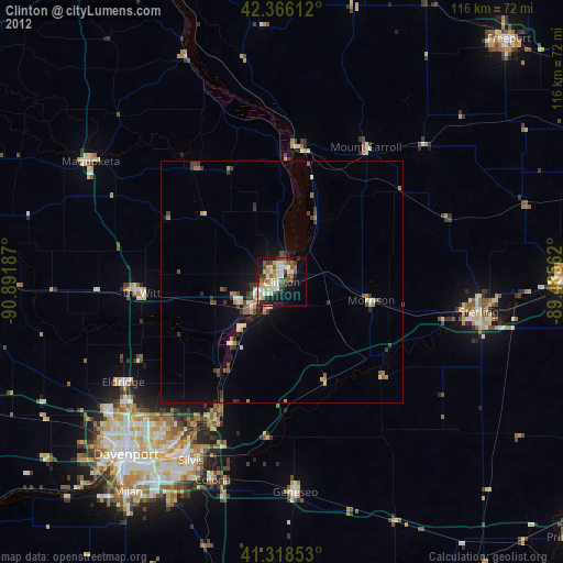
91.32%Clear (daylight) street map image can be seen on geolist.org.
Map coordinates:
42° 21' 58" North, 90° 53' 30.7" West
41° 50' 40.1" North, 90° 11' 19.5" West
41° 19' 6.7" North, 89° 29' 8.2" West
Some cities around Clinton sort by population:
• East Moline
43.7 km =27.2 mi,  209°
209°
• Sterling
41.3 km =25.7 mi,  98°
98°
• Rock Falls
42 km =26.1 mi, 99°
• Silvis
41.4 km =25.7 mi, 206°
• Geneseo
44.2 km =27.5 mi,  176°
176°
• Eldridge
38.8 km =24.1 mi,  237°
237°
• De Witt
29 km =18 mi,  265°
265°
• Colona
42.4 km =26.3 mi,  198°
198°
4852022 (p: 26,064)
Sources (retrieved 2019-11-25):
» Earth at Night: Flat Maps 2012, 2016