Bellflower night lights from space
Night Light of Bellflower (California) from space (United States) Src. Average luminocity for 10x10km area is 99.4458% and for 50x50km: 87.0762%.
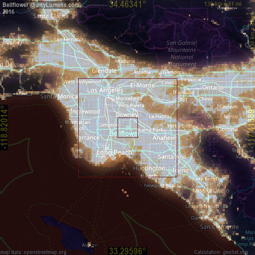
Analysis of Bellflower night lights 2016
Square area 10x10 km:
 72.9%
72.9%90-99
27.1%80-89
0%70-79
0%60-69
0%50-59
0%40-49
0%30-39
0%20-29
0%10-19
0%0-9
0%Square area 50x50 km:
51.74%90-99
22.93%80-89
5.16%70-79
5.09%60-69
3.58%50-59
1.46%40-49
1.11%30-39
0.79%20-29
1.79%10-19
2.57%0-9
3.8%Clear (daylight) street map image can be seen on geolist.org.
Map coordinates:
34° 27' 48.3" North, 118° 49' 12.5" West
33° 52' 54" North, 118° 7' 1.2" West
33° 17' 45.5" North, 117° 24' 50" West
Some cities around Bellflower sort by population:
• Downey
6.6 km =4.1 mi,  347°
347°
• Norwalk
4 km =2.5 mi,  54°
54°
• Lakewood
3.5 km =2.2 mi,  206°
206°
• Paramount
4 km =2.5 mi,  282°
282°
• Cerritos
5.5 km =3.4 mi,  118°
118°
• Artesia
3.6 km =2.2 mi, 119°
• East Rancho Dominguez
7.5 km =4.7 mi, 284°
• Hawaiian Gardens
6.9 km =4.3 mi,  143°
143°
5327422 (p: 78,441)
Sources (retrieved 2019-11-25):
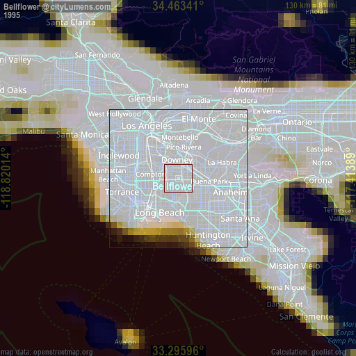
» NASA, Earths city lights 1995
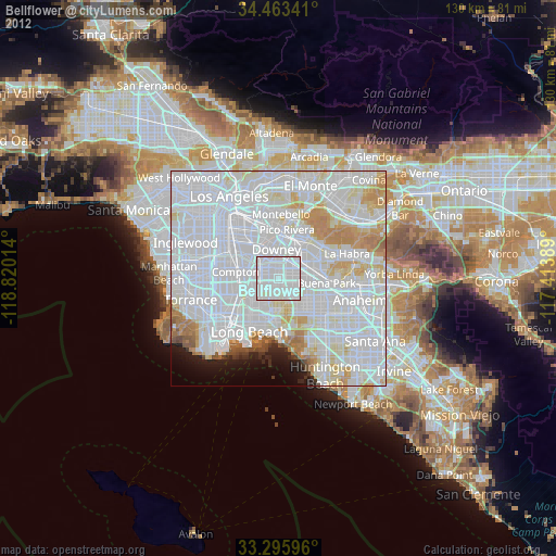
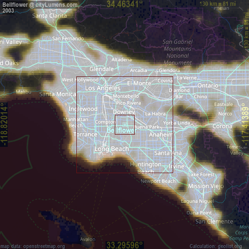
» NASA city lights 2003
» Earth at Night: Flat Maps 2012, 2016