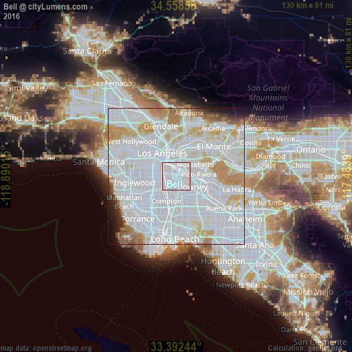
Bell night lights from space
Night Light of Bell (California) from space (United States) Src. Average luminocity for 10x10km area is 99.9231% and for 50x50km: 90.1137%.

Analysis of Bell night lights 2016
Square area 10x10 km:
 92.66%
90-99
7.34%80-89
0%70-79
0%60-69
0%50-59
0%40-49
0%30-39
0%20-29
0%10-19
0%0-9
0%Square area 50x50 km:
52.58%90-99
23.13%80-89
6.11%70-79
6.2%60-69
4.3%50-59
1.8%40-49
1.03%30-39
1.08%20-29
1.3%10-19
1.57%0-9
0.9%Clear (daylight) street map image can be seen on geolist.org.
Map coordinates:
34° 33' 30.9" North, 118° 53' 24.5" West
33° 58' 39" North, 118° 11' 13.3" West
33° 23' 32.8" North, 117° 29' 2" West
Some cities around Bell sort by population:
• East Los Angeles
5.3 km =3.3 mi,  15°
15°
• South Gate
3.4 km =2.1 mi,  222°
222°
• Huntington Park
3.5 km =2.2 mi,  277°
277°
• Bell Gardens
3.5 km =2.2 mi,  112°
112°
• Maywood
1 km =0.6 mi,  8°
8°
• Cudahy
1.9 km =1.2 mi,  175°
175°
• Walnut Park
3.7 km =2.3 mi,  253°
253°
• Commerce
3.6 km =2.2 mi,  44°
44°
5327298 (p: 36,205)
Sources (retrieved 2019-11-25):
» Earth at Night: Flat Maps 2012, 2016