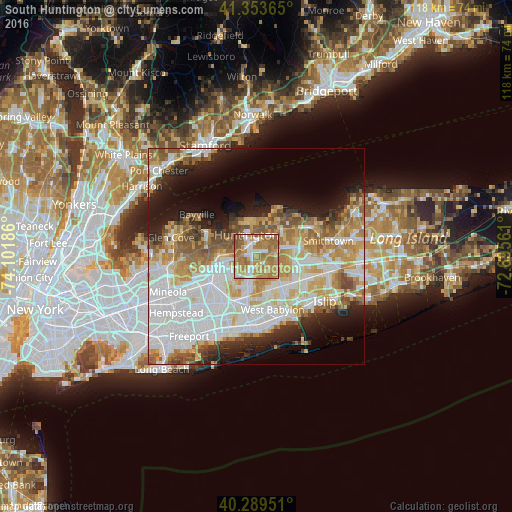
South Huntington night lights from space
Night Light of South Huntington (New York) from space (United States) Src. Average luminocity for 10x10km area is 76.3844% and for 50x50km: 51.3712%.
Analysis of South Huntington night lights 2016
Square area 10x10 km:
 12.07%
90-99
13.44%80-89
7.48%70-79
29.08%60-69
28.57%50-59
9.35%40-49
0%30-39
0%20-29
0%10-19
0%0-9
0%Square area 50x50 km:
15.7%90-99
11.64%80-89
6.29%70-79
7.65%60-69
6.95%50-59
5.73%40-49
3.37%30-39
2.84%20-29
5.8%10-19
9.51%0-9
24.52%Clear (daylight) street map image can be seen on geolist.org.
Map coordinates:
41° 21' 13.1" North, 74° 6' 6.7" West
40° 49' 25.4" North, 73° 23' 55.4" West
40° 17' 22.2" North, 72° 41' 44.2" West
Some cities around South Huntington sort by population:
• Huntington Station
3.5 km =2.2 mi,  341°
341°
• Dix Hills
5.7 km =3.5 mi,  111°
111°
• Melville
3.6 km =2.2 mi,  202°
202°
• Huntington
5.4 km =3.4 mi, 335°
• Greenlawn
5.8 km =3.6 mi,  29°
29°
• Elwood
5.9 km =3.7 mi,  65°
65°
• Woodbury
5.8 km =3.6 mi,  272°
272°
• West Hills
2.9 km =1.8 mi,  253°
253°
5138892 (p: 9,422)
Sources (retrieved 2019-11-25):
» Earth at Night: Flat Maps 2012, 2016